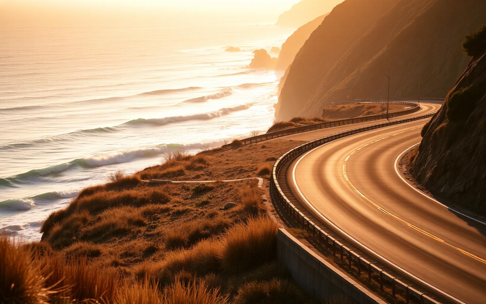
United States, California
Pacific Coast Highway
Distance
196 km
Time
3h 45m
Driving score
8.8
We choose the roads, waypoints are preserved so Google Maps follows the intended route.
Editorial
Why drive it
Drive it southbound so you are on the ocean side. It is not a road for speed; it is a road for a slow-running V8 and the roof down.
- Difficulty
- Easy
- Road width
- Two lanes, wide shoulders
- Surface
- Good
- Best direction
- Monterey → Cambria (southbound, ocean side)
- Best time of day
- Late afternoon
- Best season
- April to October
- Elevation
- 300 m
- Community rating
- 4.8 / 5
Proprietary scoring
The numbers
The journey
Route highlights
Start
Monterey
Coffee on Cannery Row
Photo Spot
Bixby Creek Bridge
The definitive image
Lunch
Big Sur
Cliff-edge terrace
Viewpoint
McWay Falls
Waterfall onto the beach
Finish
Cambria
Elephant seals and pinot
Where to stay
Stay along this drive
Tracing the road between your start and finish
0%About 20 seconds left
We may earn a referral commission when you check availability with an accommodation partner. This never affects the price you pay, nor which hotels we recommend.
From the members
Road reports
No road reports yet. Be the first to drive it and tell us how it went.
Drove this road?
Free membership lets you post road reports, rate drives and save routes.
Keep exploring
You may also like
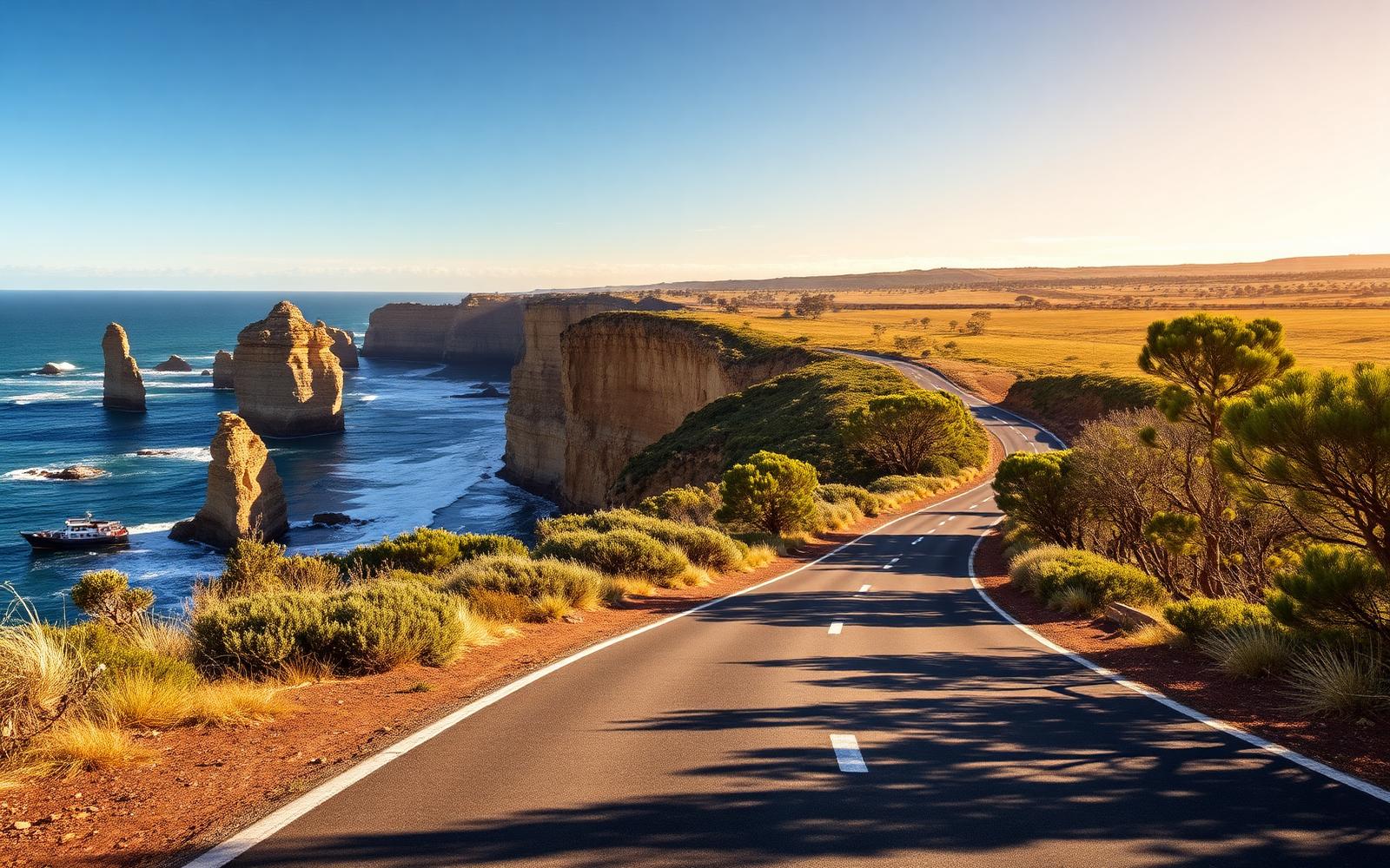
Australia, Victoria
Great Ocean Road
Distance
243 km
Time
4h 30m
Driving
8.6
Surf coast sweepers, rainforest and the Twelve Apostles.
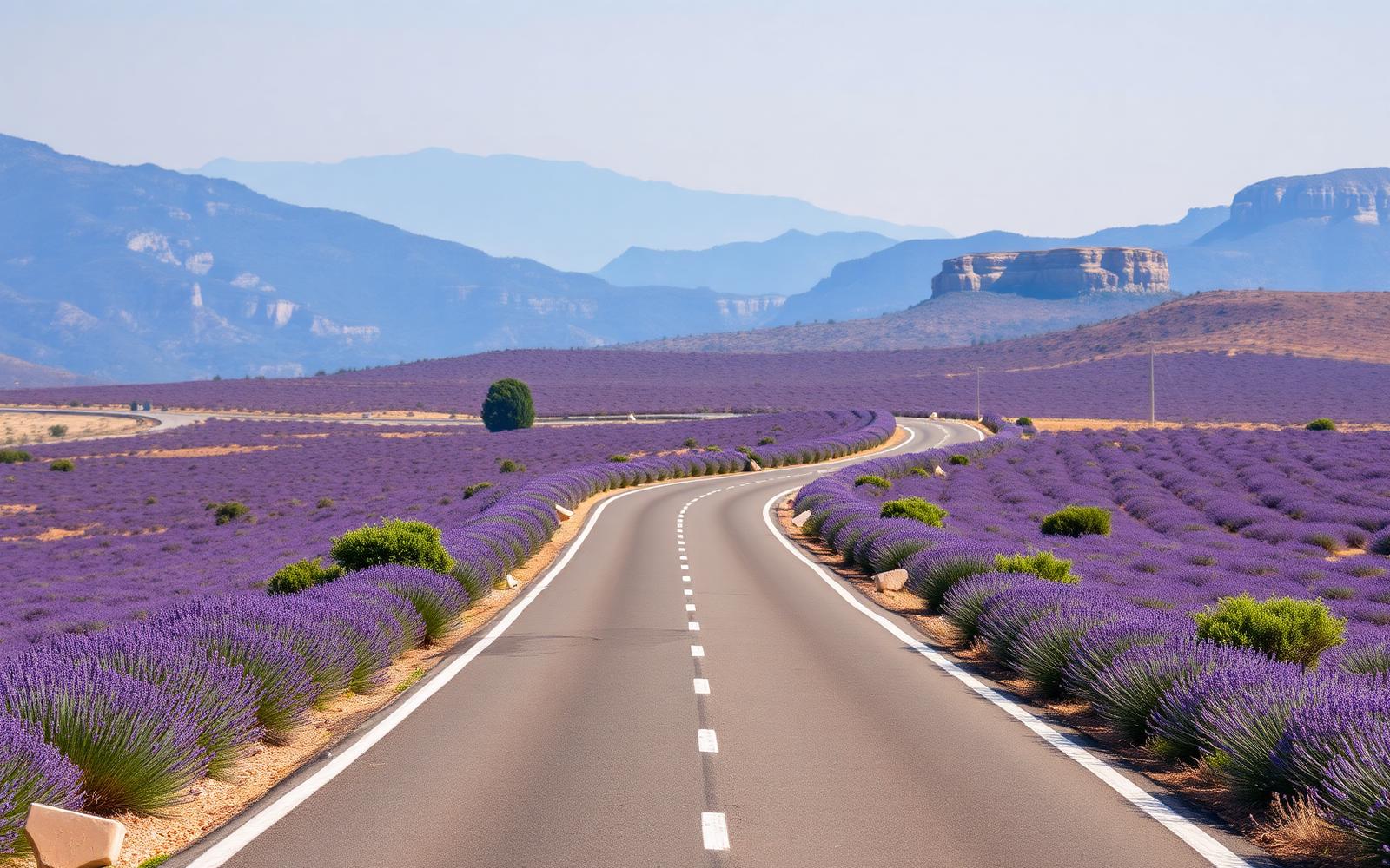
France, Provence & Alpes
Route Napoléon
Distance
325 km
Time
5h 40m
Driving
9.2
Lavender, limestone gorges and the finest sustained GT road in France.