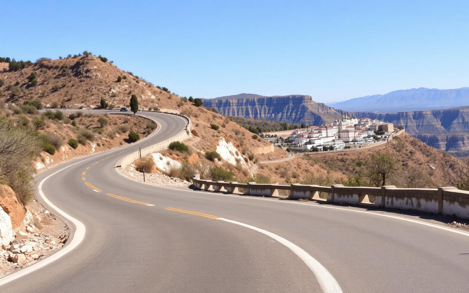
Spain, Andalusia
Ronda Mountain Road
Distance
96 km
Time
2h 20m
Driving score
9.4
We choose the roads, waypoints are preserved so Google Maps follows the intended route.
Editorial
Why drive it
Manufacturers test here for a reason. The A397 has width, camber and visibility, and it climbs almost a thousand metres in long deliberate curves with barriers where it matters.
Do not stop at Ronda. The loop out to Grazalema and Zahara is narrower, quieter and more beautiful, and the reservoir road back is the sort of thing people fly to Italy for.
- Difficulty
- Moderate
- Road width
- Two lanes, well sighted, goats on the verge
- Surface
- Very good, resurfaced on the A397
- Best direction
- San Pedro de Alcántara up to Ronda, then loop to Grazalema
- Best time of day
- Early morning before the coach traffic climbs
- Best season
- March to June, then October
- Elevation
- 1,100 m in the Sierra de Grazalema
- Community rating
- 4.7 / 5
Proprietary scoring
The numbers
The journey
Route highlights
Start
San Pedro de Alcántara
Fuel on the coast
Photo Spot
Puerto del Madroño
Sea behind, sierra ahead
Historic Village
Ronda
The gorge and the old bullring
Mountain Pass
Puerto de las Palomas
Vultures over the pass
Lunch
Zahara de la Sierra
Terrace over the turquoise reservoir
Finish
Grazalema
White village, cool air, good jamón
Where to stay
Stay along this drive
Tracing the road between your start and finish
0%About 20 seconds left
We may earn a referral commission when you check availability with an accommodation partner. This never affects the price you pay, nor which hotels we recommend.
From the members
Road reports
No road reports yet. Be the first to drive it and tell us how it went.
Drove this road?
Free membership lets you post road reports, rate drives and save routes.
Keep exploring
You may also like
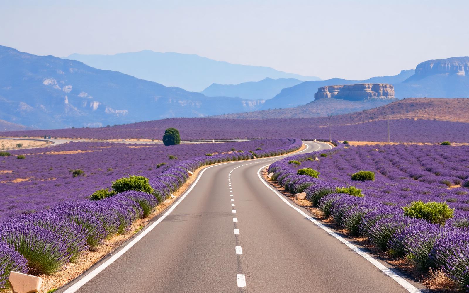
France, Provence & Alpes
Route Napoléon
Distance
325 km
Time
5h 40m
Driving
9.2
Lavender, limestone gorges and the finest sustained GT road in France.
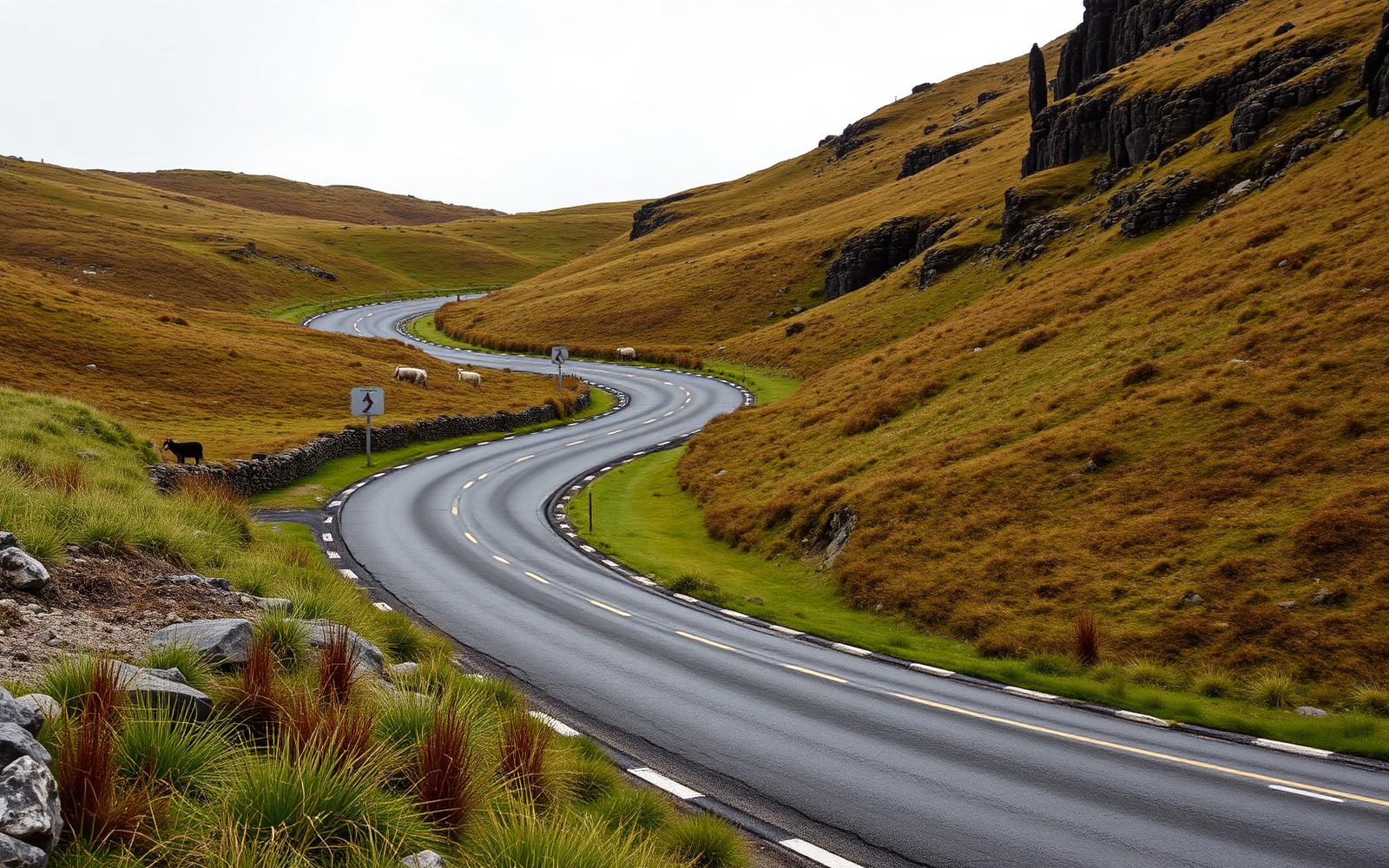
United Kingdom, Wales
Black Mountain Pass
Distance
31 km
Time
40m
Driving
9
The A4069, Britain's most photogenic set of hairpins.
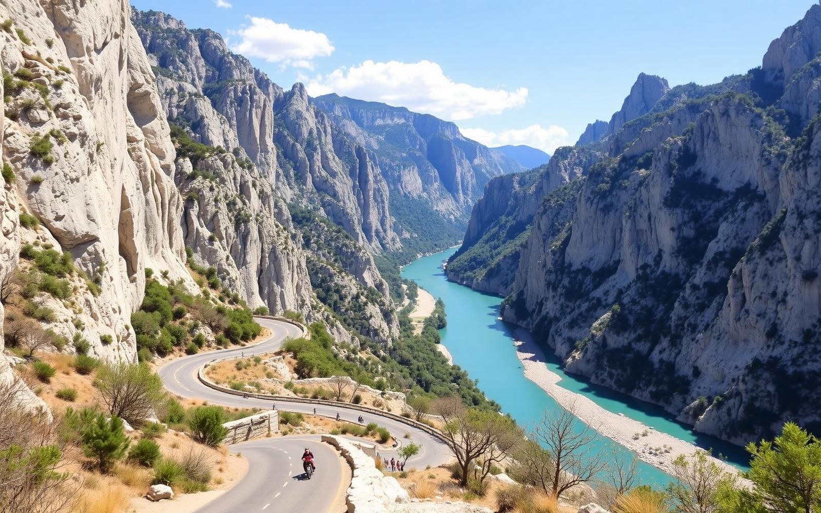
France, Provence
Gorges du Verdon Rim
Distance
118 km
Time
3h 20m
Driving
9.2
Europe's deepest canyon, driven twice, once along each rim.