Americas
Canada
Icefields Parkway and the Cabot Trail.
Why drive here
Driving in Canada
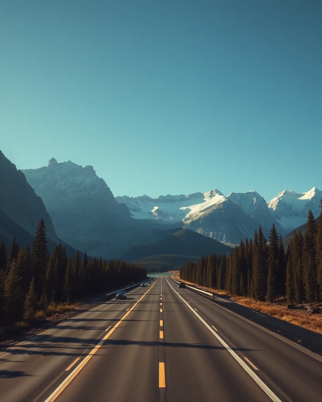
Canada's Icefields Parkway through the Rocky Mountains is one of the great mountain drives anywhere, a long, unhurried run past glaciers, turquoise lakes and wide braided rivers between Lake Louise and Jasper. Few roads anywhere combine such consistent scenery with so little traffic.
British Columbia adds the Sea to Sky Highway from Vancouver to Whistler, a fast, well engineered coastal and mountain route, along with the quieter switchbacks of the Duffey Lake Road inland. On the Atlantic side, Nova Scotia's Cabot Trail loops the Cape Breton Highlands with sea cliffs and forest in close succession.
Distances between highlights are considerable, and the northern routes such as the Dempster Highway demand proper preparation given the remoteness, but the well travelled parkways are straightforward and rewarding for any visiting driver.
Regions
Where to drive in Canada
Editors' picks
Top 5 roads in Canada
Alberta
Icefields Parkway
Glacier after glacier lines a road through the spine of the Canadian Rockies.
Lake Louise to Jasper · 232 km · Hwy 93
Driving
9
Scenery
9.9
British Columbia
Sea to Sky Highway
Fjord walls on one side, coastal peaks on the other, all the way to Whistler.
Vancouver to Whistler · 120 km · Hwy 99
Driving
8.8
Scenery
9.6
British Columbia
Duffey Lake Road
An empty mountain road of long climbs and glacial lakes beyond Whistler.
Pemberton to Lillooet · 99 km · Hwy 99
Driving
9.2
Scenery
9.5
Nova Scotia
Cabot Trail
A headland loop of steep coastal climbs on Cape Breton, magic in autumn.
Baddeck to Cheticamp · 298 km
Driving
8.9
Scenery
9.6
Quick facts
Planning your trip
When to go
June to September for the Rockies and Cape Breton, once the high passes are clear and the parkway facilities are fully open.
What to drive
A comfortable, well heated GT or SUV suits the long mountain distances and the possibility of cool weather even in summer.
Sample itinerary
The Icefields Parkway
4 days
Drive from Lake Louise to Jasper via the Icefields Parkway, with stops at Peyto Lake and the Columbia Icefield along the way.
The library
Every great road we have mapped in Canada
3 roads, scored for driving quality and scenery, with seasonal notes where they matter. Any of these can be threaded into a journey in the planner.
Yukon
Dempster Highway
Dawson City to Inuvik · 736 km · Hwy 5
A gravel road across the Arctic Circle through tundra and unbroken silence.
Gravel, carry two spares, ice road conditions in winter
Driving
8.5
Scenery
9.7
British Columbia
Crowsnest Highway
Hope to Osoyoos · 250 km · Highway 3
Three mountain passes, canyon walls and long empty straights through the interior.
Snow and avalanche control at Allison Pass in winter
Driving
8.4
Scenery
9.1
Quebec
Gaspesie Coastal Route 132
Sainte Flavie to Perce · 480 km · Route 132
The Saint Lawrence on one side and the Chic Choc mountains on the other, all the way round.
Snowbound and wild from December to March
Driving
8
Scenery
9.3