
Europe
France
Grandes Alpes cols, Provençal sweepers and the three corniches.
Why drive here
Driving in France
France has more great driving roads than any other country in Europe, largely thanks to the Route des Grandes Alpes, a chain of high cols running from Lake Geneva to the Mediterranean. The Galibier, Izoard and Bonette form its spine, each one a proper mountain pass with long approaches and genuine altitude, and each closed by snow for roughly half the year.
The south brings an entirely different style of driving. The Gorges du Verdon offers cliff edge corniche roads above Europe's grandest canyon, while the hills above Monaco hold the three corniches immortalised by decades of film and motorsport. Corsica, often overlooked, has some of the most intense narrow mountain roads anywhere in the country.
Provence and the Riviera extend the season well beyond the Alps, meaning a French driving trip can run from a spring col crossing straight into a warm autumn coast run without much compromise either way.
Featured drives
Great roads in France
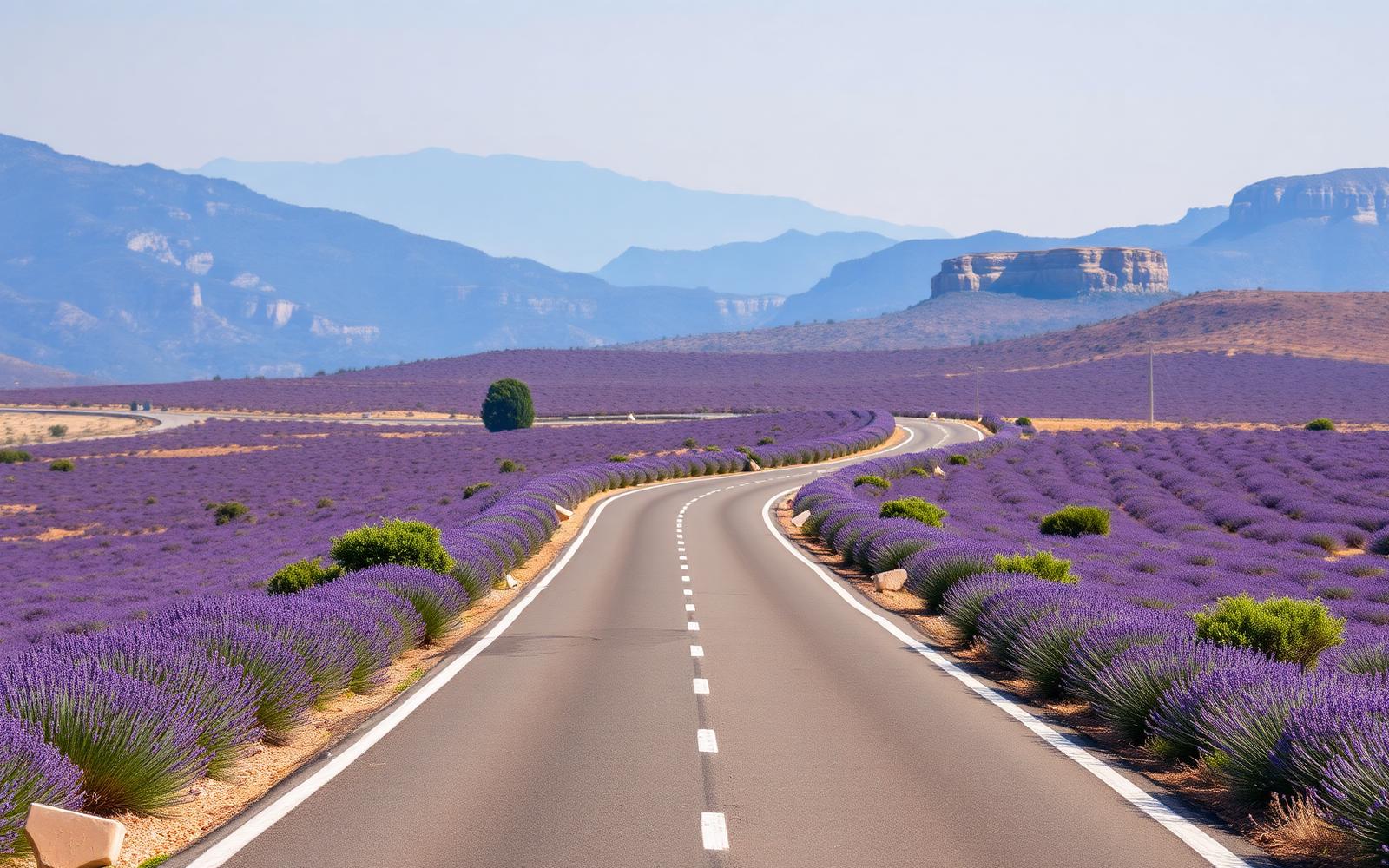
France, Provence & Alpes
Route Napoléon
Distance
325 km
Time
5h 40m
Driving
9.2
Lavender, limestone gorges and the finest sustained GT road in France.
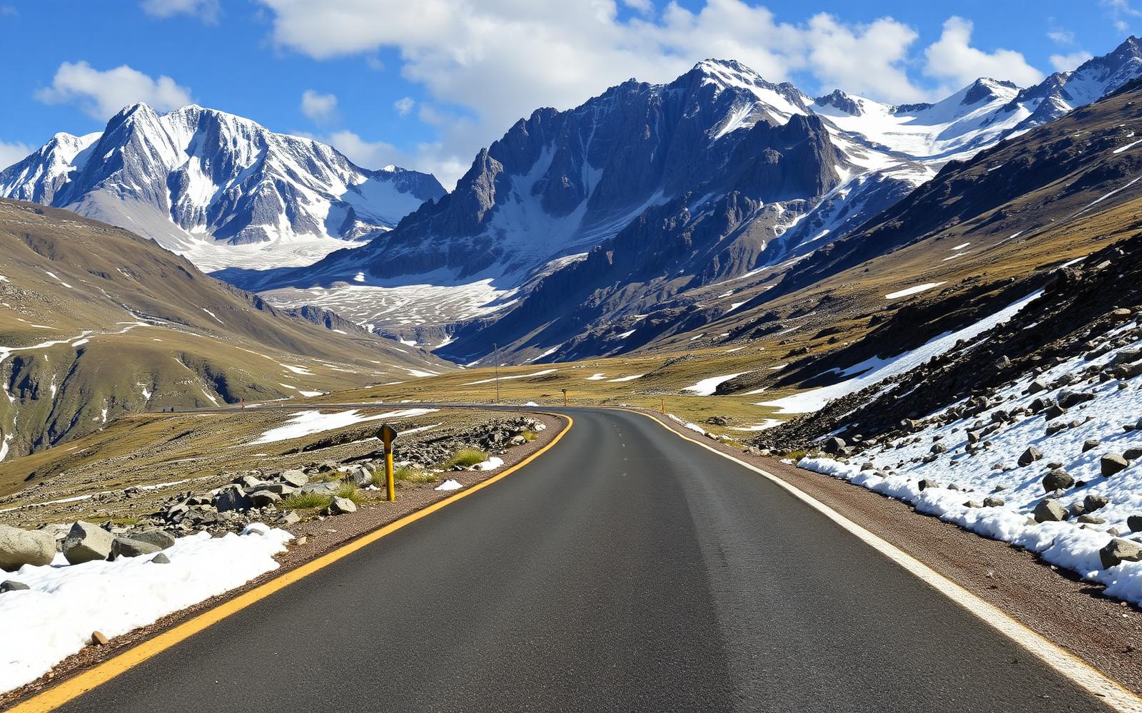
France, French Alps
Route des Grandes Alpes
Distance
684 km
Time
13h 30m
Driving
9.7
Lake Geneva to the Mediterranean across seventeen alpine cols.
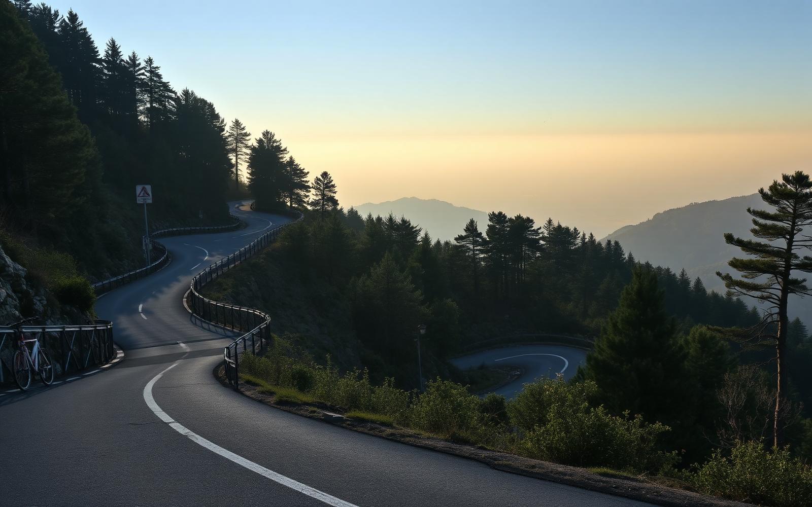
France, Côte d'Azur
Col de Turini
Distance
62 km
Time
1h 50m
Driving
9.7
The Monte Carlo Rally's night stage, and still the best test of a small quick car in Europe.
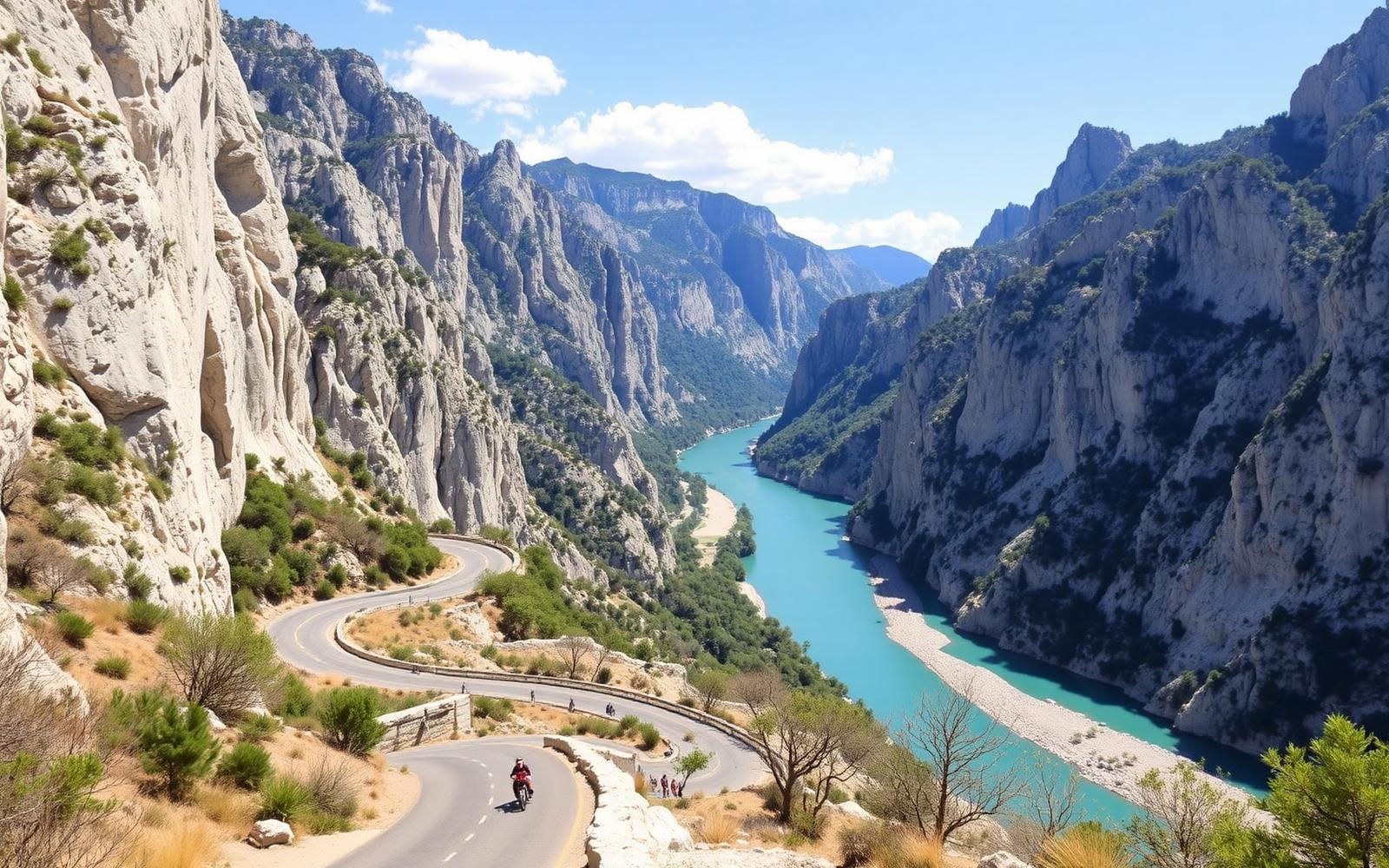
France, Provence
Gorges du Verdon Rim
Distance
118 km
Time
3h 20m
Driving
9.2
Europe's deepest canyon, driven twice, once along each rim.
Editors' picks
Top 5 roads in France
Savoie and Hautes-Alpes, France
Col du Galibier
The spine of the Route des Grandes Alpes, a relentless climb to one of driving's holiest summits.
Valloire to Col du Lautaret · 18.1 km · D902
Driving
9.5
Scenery
9.7
View full route
Hautes-Alpes, France
Col d'Izoard
Hairpins through larch forest give way to the lunar Casse Deserte, a surreal high altitude finale.
Briancon to Guillestre · 33 km · D902
Driving
9.4
Scenery
9.6
Alpes-Maritimes, France
Col de Turini
Legendary Monte Carlo Rally stage stitching together forested hairpins above the Roya valley.
Sospel to La Bollene-Vesubie · 17 km · D70
Driving
9.3
Scenery
8.8
View full route
Var, France
Gorges du Verdon, Corniche Sublime
Cliff hugging ledge road staring straight down into Europe's grandest limestone canyon.
Aiguines to Comps-sur-Artuby · 24 km · D71
Driving
9.2
Scenery
9.9
View full route
Alpes-de-Haute-Provence to Alpes-Maritimes, France
Route Napoleon
Sweeping historic highway tracing Napoleon's 1815 march through lavender country and pine ridges.
Digne-les-Bains to Grasse · 72 km · N85
Driving
8.6
Scenery
8.9
View full route
Quick facts
Planning your trip
When to go
July and August for the high Alpine cols once snow gates open, or May and late September for the Riviera and Provence without the summer crowds.
What to drive
A convertible suits the Riviera corniches perfectly, while a car with strong brakes and a keen chassis makes the most of the Alpine cols.
Sample itinerary
London to Lake Como via the Alps
6 days
Cross the Channel, run south through Reims and Burgundy, then climb the Route des Grandes Alpes before dropping into Italy at the Col de la Bonette.
The library
Every great road we have mapped in France
40 roads, scored for driving quality and scenery, with seasonal notes where they matter. Any of these can be threaded into a journey in the planner.
Alpes-Maritimes, France
Col de la Bonette
Jausiers to Saint-Etienne-de-Tinee · 24 km · D64
A looping summit road above 2800 metres that circles the peak itself for maximum theatre.
Closed roughly November to May, Europe's highest paved through road
Driving
9.6
Scenery
9.8
Corse-du-Sud, Corsica, France
Calanques de Piana
Porto to Piana · 12 km · D81
Impossibly narrow ledge road through blood red granite pinnacles above the Gulf of Porto.
Driving
9.3
Scenery
9.9
Savoie, France
Col de l'Iseran
Val-d'Isere to Bonneval-sur-Arc · 16 km · D902
The roof of the Route des Grandes Alpes, a stark granite amphitheatre above 2700 metres.
Closed roughly October to June, highest paved pass in the Alps
Driving
9.5
Scenery
9.7
Hautes-Pyrenees, France
Col du Tourmalet
Luz-Saint-Sauveur to Sainte-Marie-de-Campan · 19 km · D918
The highest paved pass in the Pyrenees and the Tour de France's most storied climb.
Closed roughly October to May
Driving
9.4
Scenery
9.6
Alpes-de-Haute-Provence, France
Route des Cretes, Verdon
La Palud-sur-Verdon to Verdon rim · 23 km · D23
A vertiginous loop skimming the canyon rim with balcony viewpoints at every bend.
Narrow one way loop, best avoided in high summer traffic
Driving
9
Scenery
9.8
Pyrenees-Atlantiques, France
Col d'Aubisque
Laruns to Col du Soulor · 30 km · D918
Cliff cut hairpins and cirque views link two valleys via the dramatic Litor shelf.
Closed roughly November to May
Driving
9.2
Scenery
9.5
Alpes-Maritimes, France, above Monaco
Grande Corniche
Nice to La Turbie · 16 km · D2564
Napoleon's high road above Monaco, immortalised on film, staring down onto the principality.
Driving
8.9
Scenery
9.7
Corse-du-Sud, Corsica, France
Col de Bavella
Zonza to Solenzara · 38 km · D268
Needle like granite spires tower over this pass linking Corsica's interior to the east coast.
Can be affected by winter snow at the summit
Driving
8.9
Scenery
9.7
Hautes-Alpes, France
Col Agnel
Chateau-Ville-Vieille to Italian border · 22 km · D205T
Remote high altitude pass to the Italian frontier with tight ribbons and stark empty scenery.
Closed roughly October to June, one of the highest paved passes in Europe
Driving
9.1
Scenery
9.4
Lozere, France
Gorges du Tarn
Ispagnac to Le Rozier · 52 km · D907bis
A river hugging road beneath towering limestone cliffs, one of the Massif Central's great drives.
Driving
8.9
Scenery
9.6
Haute-Corse, Corsica, France
Scala di Santa Regina
Corte to Calacuccia · 25 km · D84
A narrow gorge road blasted into red granite walls, the gateway to Corsica's high interior.
Driving
9
Scenery
9.5
Savoie and Isere, France
Col de la Croix de Fer
Saint-Jean-de-Maurienne to Allemond · 30 km · D926
Turquoise lakes and jagged aiguilles frame this classic crossing of the Grandes Alpes.
Closed roughly November to May
Driving
9
Scenery
9.4
Ardeche, France
Gorges de l'Ardeche
Vallon-Pont-d'Arc to Saint-Martin-d'Ardeche · 32 km · D290
A dramatic corniche skimming turquoise river bends beneath the Pont d'Arc natural arch.
Driving
8.8
Scenery
9.5
Bouches-du-Rhone, France
Route des Cretes, Cassis
Cassis to La Ciotat · 15 km · D141
A clifftop road above Europe's highest maritime cliff with the Mediterranean glittering below.
Can close in high mistral winds
Driving
8.6
Scenery
9.6
Hautes-Pyrenees, France
Col du Soulor
Argeles-Gazost to Col d'Aubisque · 19 km · D918
A dramatic balcony road along the Litor cliff face connecting straight into the Aubisque.
Closed roughly November to May
Driving
8.8
Scenery
9.2
Alpes-Maritimes, France
Col de la Cayolle
Barcelonnette to Guillaumes · 48 km · D2202
A quiet pastoral pass with a gorge finale through the narrow Gorges du Bachelard.
Closed roughly November to May
Driving
8.7
Scenery
9.2
Hautes-Alpes, France
Col du Lautaret
Le Bourg-d'Oisans to Briancon · 38 km · D1091
A broad glacier flanked highway linking the Romanche and Guisane valleys beneath the Meije massif.
Occasional winter closures in heavy snow
Driving
8.5
Scenery
9.3
Savoie, France
Col de la Madeleine
La Chambre to Aigueblanche · 19.3 km · D213
A punishing Tour de France staple threading pine forest to a panorama of the Vanoise peaks.
Closed roughly November to May
Driving
8.8
Scenery
9
Var, France
Corniche de l'Esterel
Saint-Raphael to Mandelieu-la-Napoule · 25 km · N98
Red volcanic rock plunges into azure sea along this coastal corniche below the Esterel massif.
Driving
8.4
Scenery
9.3
Alpes-Maritimes, France, above Monaco
Moyenne Corniche
Nice to Roquebrune-Cap-Martin · 16 km · D6007
The middle ribbon of the three Riviera corniches, threading Eze's clifftop village.
Driving
8.3
Scenery
9.4
Isere, France
Alpe d'Huez
Bourg-d'Oisans to Alpe d'Huez · 13.8 km · D211
Twenty one numbered switchbacks, each hairpin named for a Tour de France stage winner.
Upper sections can ice in deep winter
Driving
8.9
Scenery
8.7
Haute-Corse, Corsica, France
Vallee de la Restonica
Corte to Bergeries de Grotelle · 16 km · D623
A tight riverside track climbing into a glacial valley beneath jagged Corsican granite peaks.
Upper section closed to private cars in peak summer
Driving
8.2
Scenery
9.4
Cantal, France
Pas de Peyrol, Puy Mary
Salers to Murat · 27 km · D680
A steep col cresting a green volcanic ridge with huge views over the Cantal massif.
Closed roughly December to April
Driving
8.3
Scenery
9.1
Vosges, France
Route des Cretes, Vosges
Le Bonhomme to Cernay · 83 km · D430
A ridge road built for wartime supply lines, tracing rounded Vosges summits above the Rhine.
Highest sections can ice in winter
Driving
8.5
Scenery
8.9
Haute-Garonne, France
Col de Peyresourde
Bagneres-de-Luchon to Arreau · 18 km · D618
A classic Pyrenean crossing of open pasture and hairpins on the Route des Pyrenees.
Closed roughly December to April
Driving
8.5
Scenery
8.8
Hautes-Alpes, France
Col de Vars
Guillestre to Barcelonnette · 20 km · D902
A gentler Alpine link road with sweeping meadows between two harder edged giants.
Closed roughly November to May
Driving
8.4
Scenery
8.8
Jura, France
Route des Cretes du Haut-Jura
Les Rousses to Col de la Faucille · 40 km · D25
A high plateau ridge road with sweeping Mont Blanc panoramas across the Leman basin.
Can close briefly after heavy snowfall
Driving
8.1
Scenery
9
Pyrenees-Atlantiques, France
Col de la Pierre Saint-Martin
Arette to La Pierre-Saint-Martin · 24 km · D132
A wild limestone plateau climb through the karst country of the western Pyrenees.
Closed roughly November to May
Driving
8.1
Scenery
8.9
Puy-de-Dome, France
Col de la Croix Morand
Chambon-sur-Lac to Orcines · 22 km · D983
Volcanic puys unroll beneath this switchbacked crossing of the Auvergne's Chaine des Puys.
Can close briefly after heavy winter snowfall
Driving
8
Scenery
8.9
Alsace, France
Route des Vins d'Alsace
Marlenheim to Thann · 170 km · D35
A meandering vineyard route strung between half timbered villages beneath the Vosges foothills.
Driving
7.6
Scenery
9.2
Doubs, France
Corniche de Goumois
Goumois to Saint-Hippolyte · 20 km · D437
A quiet river hugging corniche along the French and Swiss border deep in the Jura forests.
Driving
7.9
Scenery
8.8
Alpes-Maritimes, France
Basse Corniche
Nice to Menton · 22 km · D6098
A sea level corniche skimming every harbour and cove between Nice and the Italian border.
Driving
7.8
Scenery
8.9
Aveyron, France
Causse du Larzac
Millau to La Cavalerie · 22 km · D992
Rolling limestone plateau roads that deliver a dramatic view of the record breaking viaduct.
Driving
7.9
Scenery
8.7
Finistere, Brittany, France
Cap Sizun coast road
Audierne to Pointe du Raz · 16 km · D784
A wind scoured finger of Breton coast road ending at France's dramatic westernmost headland.
Driving
7.5
Scenery
9.1
Cotes-d'Armor, Brittany, France
Cote de Granit Rose
Perros-Guirec to Treguier · 22 km · D788
A pink granite coastline unfurls beside this road linking fishing ports of northern Brittany.
Driving
7.6
Scenery
9
Vosges, France
Col de la Schlucht
Gerardmer to Munster · 22 km · D417
A forested pass over the main Vosges ridge, popular with cyclists and motorbikes alike.
Occasional winter closures in snow
Driving
7.9
Scenery
8.6
Ain, France
Col de la Faucille
Gex to Mijoux · 13 km · N5
A historic Jura pass with a famous belvedere overlooking Lake Geneva and the Alps beyond.
Occasional winter closures in heavy snow
Driving
7.8
Scenery
8.7
Dordogne, France
Cingle de Tremolat
Tremolat to Limeuil · 14 km · D31
A looping riverside lane tracing the Dordogne's dramatic horseshoe meander below limestone cliffs.
Driving
7.4
Scenery
9
Dordogne, France
Vallee de la Vezere
Les Eyzies-de-Tayac to Montignac · 25 km · D706
A limestone valley drive past troglodyte cliffs and prehistoric caves along the storied Vezere.
Driving
7.5
Scenery
8.9
Seine-Maritime, Normandy, France
Cote d'Albatre coast road
Fecamp to Dieppe · 45 km · D940
Chalk cliffs plunge to the Channel along this rolling route past Etretat's famous arches.
Driving
7.3
Scenery
8.8