Oceania
New Zealand
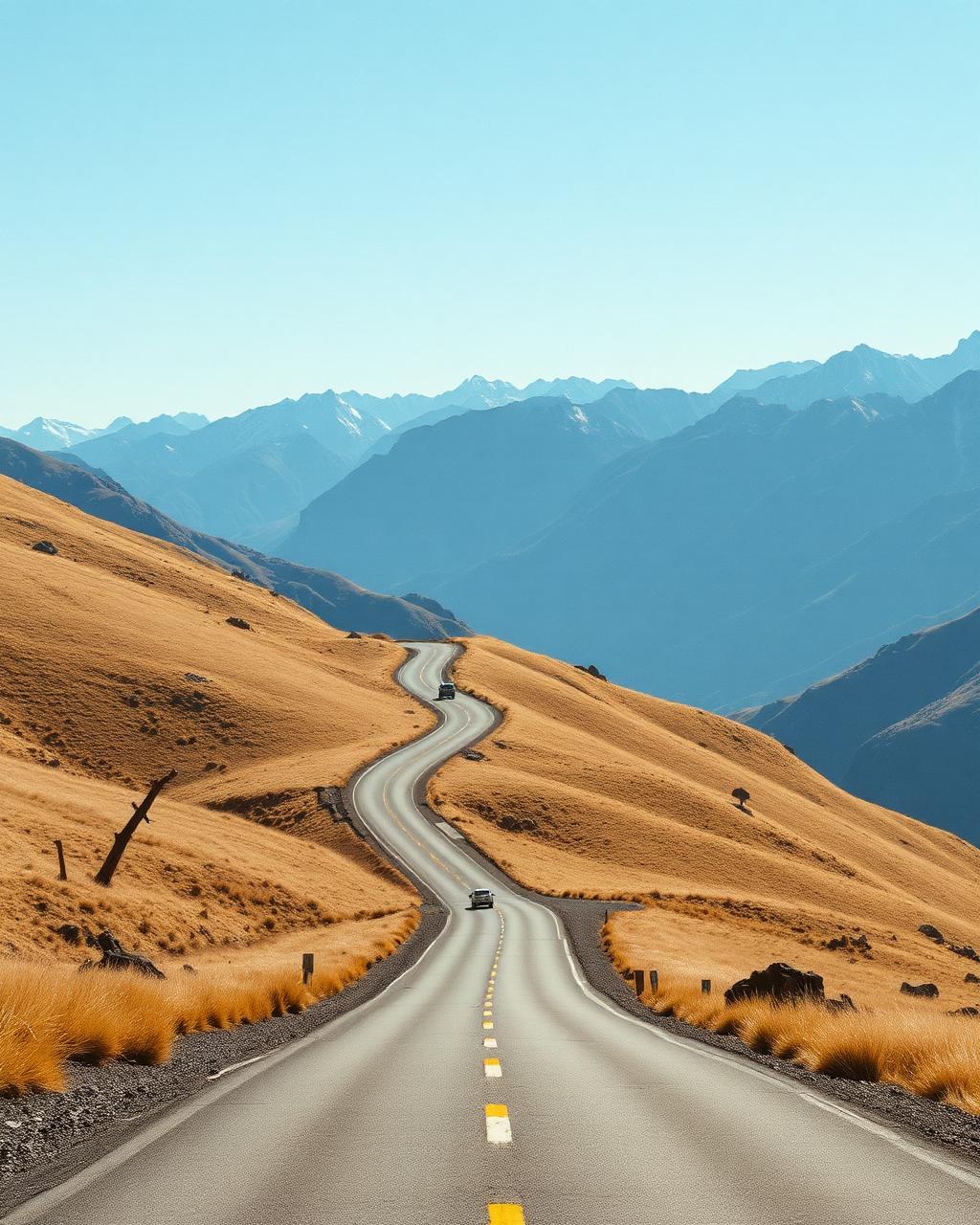
Crown Range, Milford Road and empty South Island tarmac.
Why drive here
Driving in New Zealand
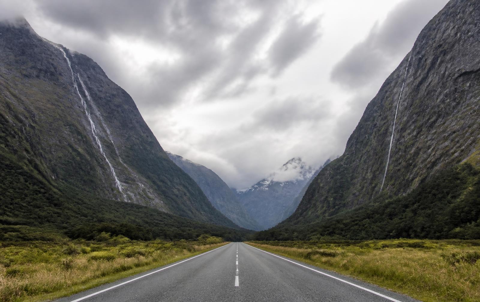
New Zealand's South Island is built for driving, and the Milford Road is the country's finest single stretch of it, running from the tussock flats of Te Anau through beech forest and a single lane tunnel to the fjord at Milford Sound. Leave early, before the tour coaches, and it feels almost entirely empty.
The Crown Range Road near Queenstown climbs to the highest sealed pass in the country with sweeping views over the Wakatipu basin, while the Haast Pass links the west coast rainforest to the drier Otago high country in a single dramatic crossing. Arthur's Pass, further north, offers a similar transition through the Southern Alps with its own particular scale.
Roads are well surfaced but often narrow and winding, and weather in Fiordland can close the Milford Road with little notice, so a flexible schedule is worth building in.
Regions
Where to drive in New Zealand
Editors' picks
Top 5 roads in New Zealand
Fiordland
Milford Road
A glacial valley run to the Homer Tunnel and a fiord surrounded by vertical rock.
Te Anau to Milford Sound · 119 km · SH94
Driving
9.2
Scenery
9.9
View full route
Otago
Crown Range Road
New Zealand's highest sealed road with a hairpin stack above the Cardrona valley.
Queenstown to Wanaka · 70 km
Driving
9.3
Scenery
9.6
West Coast
Haast Pass
Rainforest and waterfall canyon roads link the lakes to the wild West Coast.
Wanaka to Haast · 145 km · SH6
Driving
8.9
Scenery
9.6
Canterbury
Arthur's Pass
Braided rivers, beech forest and the dramatic Otira viaduct across an alpine fault.
Springfield to Arthur's Pass · 90 km · SH73
Driving
9
Scenery
9.5
Quick facts
Planning your trip
When to go
November to April for the most reliable weather and full daylight for the longer South Island drives.
What to drive
A well sorted GT or SUV suits the variable weather and winding two lane roads better than an outright sports car.
Sample itinerary
Queenstown to Milford Sound
4 days
Start in Queenstown over the Crown Range Road, continue to Te Anau, then drive the Milford Road early for the fjord before returning the same way.
The library
Every great road we have mapped in New Zealand
4 roads, scored for driving quality and scenery, with seasonal notes where they matter. Any of these can be threaded into a journey in the planner.
Otago
Lindis Pass
Omarama to Tarras · 65 km · SH8
Golden tussock hills and long, high speed sweeps through empty high country.
Black ice and snow in winter
Driving
8.7
Scenery
9.5
Nelson
Takaka Hill
Motueka to Takaka · 34 km · SH60
Marble mountain switchbacks between Tasman Bay and Golden Bay.
Fog common at the summit
Driving
8.8
Scenery
9.1
Taranaki
Forgotten World Highway
Taumarunui to Stratford · 148 km · SH43
Four saddles, a gorge and a tunnel, on a road that feels a century out of date.
A gravel section and a one lane tunnel, no fuel for 150 km
Driving
8.8
Scenery
9
Coromandel
Coromandel Coast Road
Thames to Coromandel Town · 55 km · SH25
A narrow shoreline road under pohutukawa trees with the Firth of Thames alongside.
Slip prone after storms
Driving
8.6
Scenery
9.2