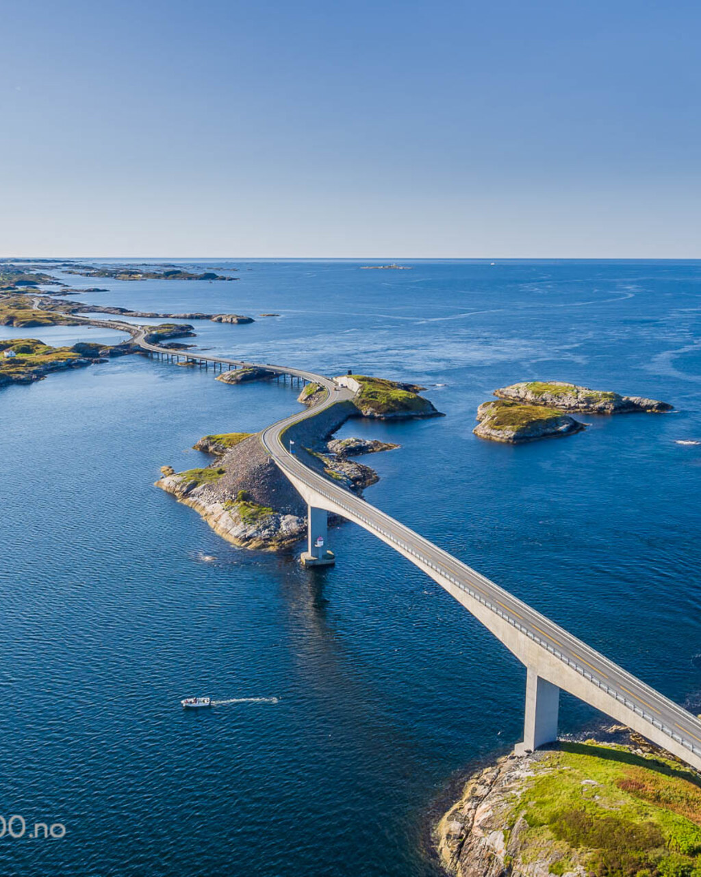
Norway, Western Fjords
The Atlantic Road
Distance
36 km
Time
50m
Driving score
8.2
We choose the roads, waypoints are preserved so Google Maps follows the intended route.
Editorial
Why drive it
It is not a technical road and it does not pretend to be. What it offers is theatre: a ribbon of concrete threaded between skerries with waves breaking over the parapet when the weather turns.
Drive it twice, once each way. The Storseisundet crest hides the far side of the bridge on the approach, which is the image everyone knows, and it is better in person with spray on the windscreen.
- Difficulty
- Easy
- Road width
- Two lanes, exposed on every bridge
- Surface
- Excellent, salt washed
- Best direction
- Kårvåg to Bud
- Best time of day
- Storm light in autumn, midnight sun in June
- Best season
- All year, best in September gales
- Elevation
- 23 m at the Storseisundet bridge crest
- Community rating
- 4.7 / 5
Proprietary scoring
The numbers
The journey
Route highlights
Start
Kårvåg
Coffee and a weather check
Photo Spot
Storseisundet Bridge
The bridge to nowhere
Viewpoint
Eldhusøya
Walkway over the rocks
Lunch
Håholmen
Seafood on the old fishing station
Finish
Bud
Fishing village, war museum, wind
Where to stay
Stay along this drive
Tracing the road between your start and finish
0%About 20 seconds left
We may earn a referral commission when you check availability with an accommodation partner. This never affects the price you pay, nor which hotels we recommend.
From the members
Road reports
No road reports yet. Be the first to drive it and tell us how it went.
Drove this road?
Free membership lets you post road reports, rate drives and save routes.
Keep exploring
You may also like
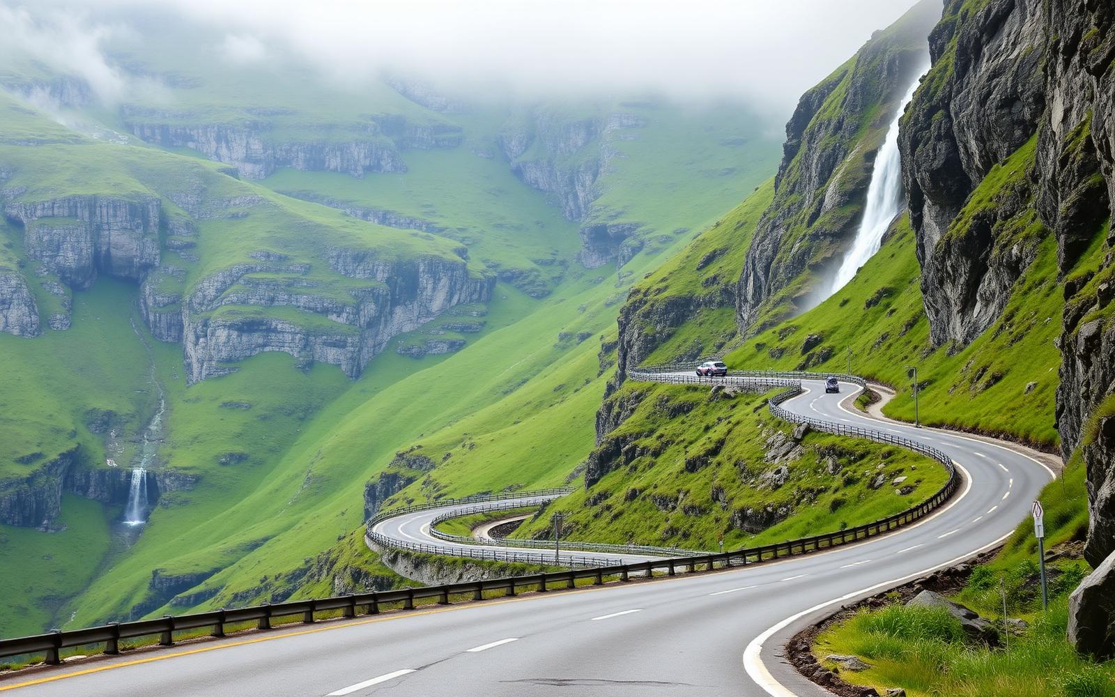
Norway, Western Fjords
Trollstigen and the Golden Route
Distance
106 km
Time
3h 00m
Driving
9
Eleven hairpins under a waterfall, a ferry across the fjord, then the climb to Dalsnibba.
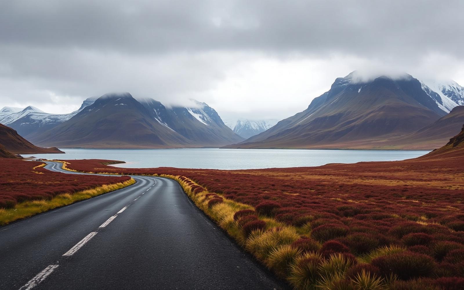
United Kingdom, Scotland
North West Highlands
Distance
402 km
Time
8h 20m
Driving
9.1
Empty single-track, sea lochs and the Bealach na Bà.
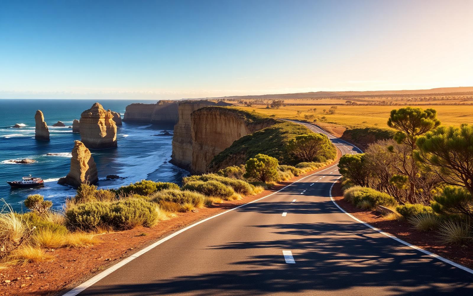
Australia, Victoria
Great Ocean Road
Distance
243 km
Time
4h 30m
Driving
8.6
Surf coast sweepers, rainforest and the Twelve Apostles.