United Kingdom, Scottish Highlands
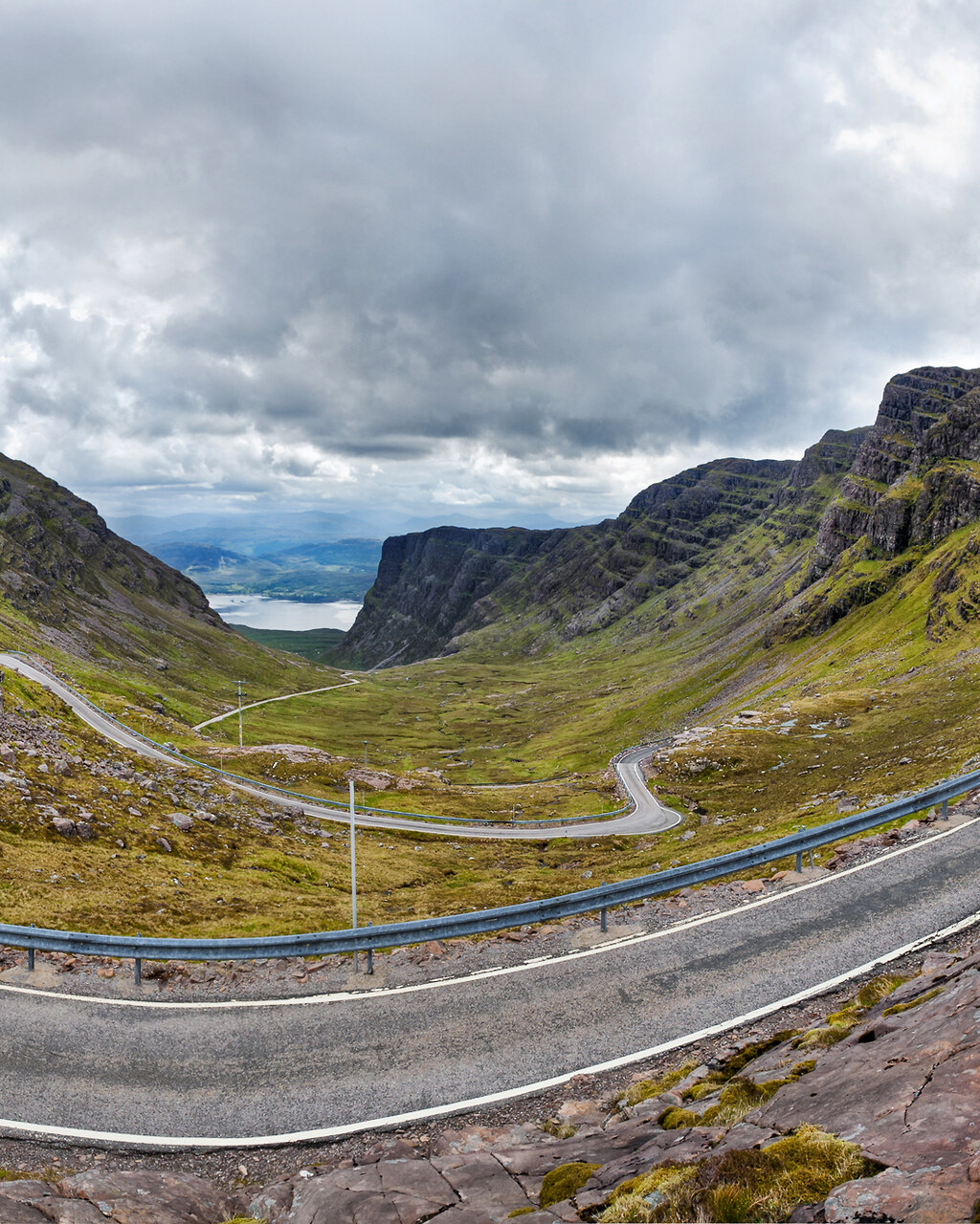
Bealach na Bà and Applecross
Distance
88 km
Time
2h 30m
Driving score
9.3
We choose the roads, waypoints are preserved so Google Maps follows the intended route.
Editorial
Why drive it
The Pass of the Cattle climbs 626 metres from sea level in less than ten kilometres, with gradients of one in five and hairpins that need a proper turn in. It is the closest thing Britain has to an alpine col.
The trick is to keep going. North from Applecross the coast road runs empty for forty kilometres above Skye, rising and falling over rock and heather, and it is arguably better driving than the pass itself.
- Difficulty
- Challenging
- Road width
- Single track with passing places
- Surface
- Patched and broken in the upper hairpins
- Best direction
- Tornapress up and over, then the coast road north
- Best time of day
- Early morning or late evening in summer
- Best season
- May to September, avoid snow and ice
- Elevation
- 626 m at the pass
- Community rating
- 4.8 / 5
Proprietary scoring
The numbers
The journey
Route highlights
Start
Tornapress
Cattle grid and the warning sign
Mountain Pass
Bealach na Bà
626 m, hairpins, weather
Viewpoint
Applecross Summit
Skye and the Cuillin on a clear day
Lunch
Applecross Inn
Langoustines by the shore
Photo Spot
Fearnbeg Coast
Single track above the sound
Finish
Shieldaig
White cottages and a loch
Where to stay
Stay along this drive
Tracing the road between your start and finish
0%About 20 seconds left
We may earn a referral commission when you check availability with an accommodation partner. This never affects the price you pay, nor which hotels we recommend.
From the members
Road reports
No road reports yet. Be the first to drive it and tell us how it went.
Drove this road?
Free membership lets you post road reports, rate drives and save routes.
Keep exploring
You may also like
United Kingdom, Scotland
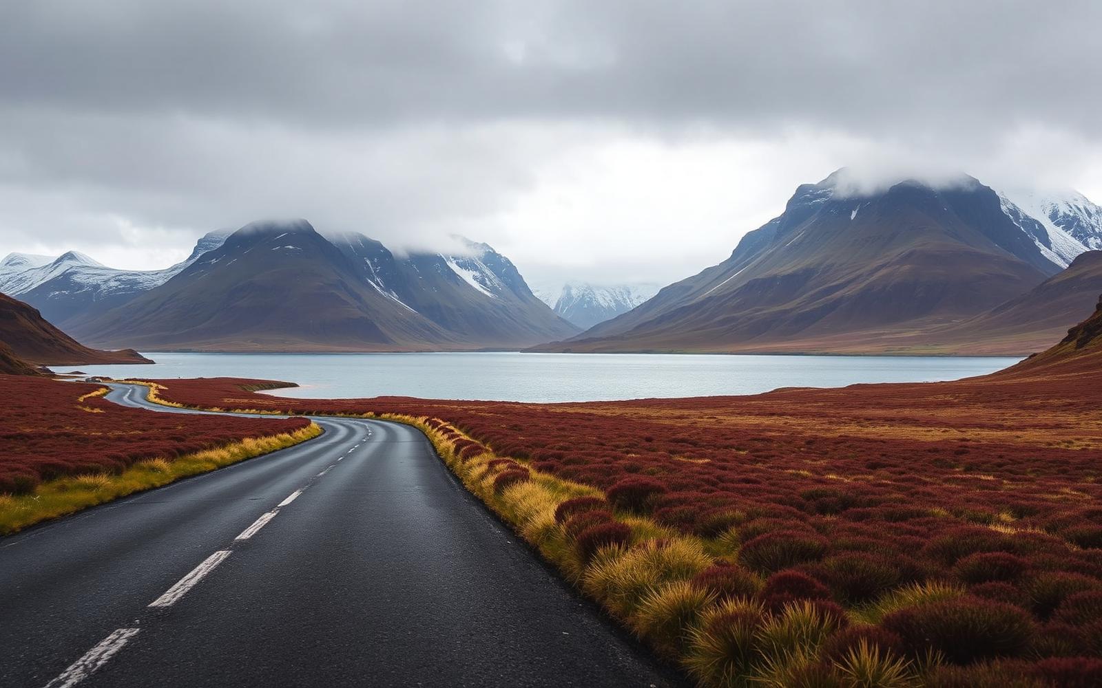
North West Highlands
Distance
402 km
Time
8h 20m
Driving
9.1
Empty single-track, sea lochs and the Bealach na Bà.
United Kingdom, Wales
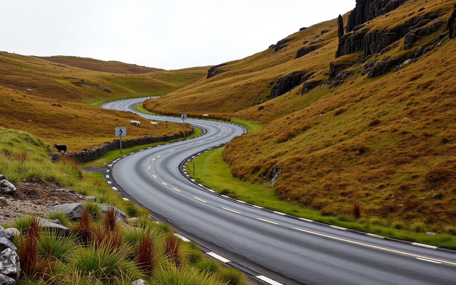
Black Mountain Pass
Distance
31 km
Time
40m
Driving
9
The A4069, Britain's most photogenic set of hairpins.
Norway, Western Fjords
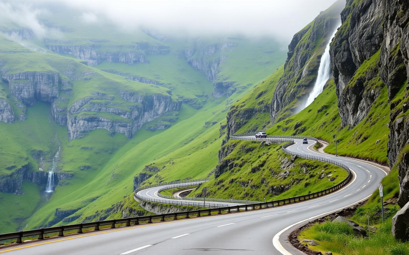
Trollstigen and the Golden Route
Distance
106 km
Time
3h 00m
Driving
9
Eleven hairpins under a waterfall, a ferry across the fjord, then the climb to Dalsnibba.