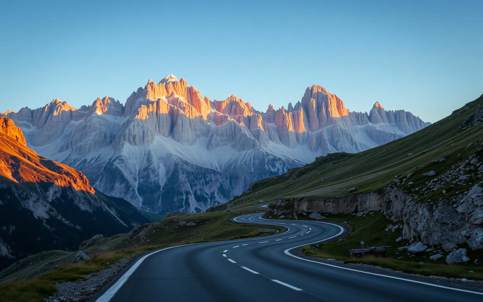
Italy, Dolomites
The Great Dolomites Drive
Distance
187 km
Time
4h 15m
Driving score
9.6
We choose the roads, waypoints are preserved so Google Maps follows the intended route.
Editorial
Why drive it
The Strada delle Dolomiti was engineered in 1909 for horse-drawn carriages and has been quietly perfected ever since. What survives is a road of extraordinary rhythm: long, sighted third-gear sweepers on the valley floors, then a switch to tight, stacked hairpins as the limestone closes in.
The Pordoi is the set piece, thirty-three numbered corners on the western ramp, each one cambered generously enough to carry speed, each one opening onto a view of the Sella massif that seems computer-generated. The Falzarego that follows is faster and wider, a road for a GT rather than a stopwatch.
Go early. By ten o'clock the motorhomes arrive and the magic thins. Go in a convertible if you possibly can: the Dolomites reward hearing the rock walls as much as seeing them.
- Difficulty
- Challenging
- Road width
- Generous two-lane, occasional narrow tunnel sections
- Surface
- Excellent, resurfaced on the Pordoi and Falzarego ramps
- Best direction
- West to east, Bolzano → Cortina
- Best time of day
- Depart before 07:30
- Best season
- May to October
- Elevation
- 2,239 m maximum, Passo Pordoi
- Community rating
- 4.9 / 5
Proprietary scoring
The numbers
The journey
Route highlights
Start
Bolzano
Fuel and espresso in the arcaded old town
Coffee
Karersee
Emerald lake, five-minute stop, mirror reflections
Mountain Pass
Passo Costalunga
Warm-up pass, flowing and quiet
Photo Spot
Canazei Overlook
Sella massif framed by pine
Mountain Pass
Passo Pordoi
33 hairpins, 2,239 m summit
Lunch
Rifugio Arabba
Speck, dumplings, terrace over the valley
Viewpoint
Passo Falzarego
Wide, fast, cinematic
Fuel
Pocol Services
Last reliable fuel before Cortina
Finish
Cortina d'Ampezzo
Aperitivo on the Corso Italia
Where to stay
Stay along this drive
Tracing the road between your start and finish
0%About 20 seconds left
We may earn a referral commission when you check availability with an accommodation partner. This never affects the price you pay, nor which hotels we recommend.
From the members
Road reports
No road reports yet. Be the first to drive it and tell us how it went.
Drove this road?
Free membership lets you post road reports, rate drives and save routes.
Keep exploring
You may also like
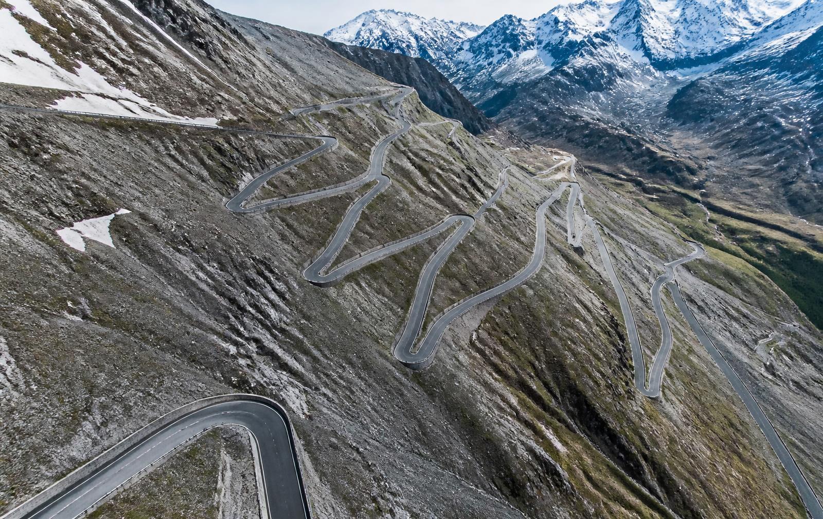
Italy, Italian Alps
Stelvio Pass
Distance
49 km
Time
1h 30m
Driving
9.4
Forty-eight numbered hairpins stacked like a staircase into the sky.
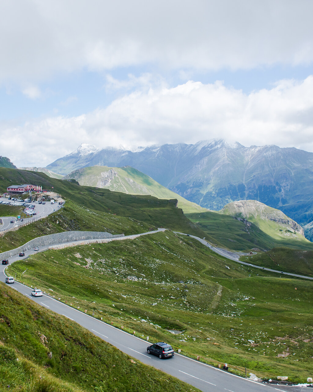
Austria, Hohe Tauern
Grossglockner High Alpine Road
Distance
48 km
Time
1h 40m
Driving
9.2
Austria's cathedral road, thirty-six corners to a glacier. Allow around an hour and forty minutes for the 48 km toll route without stops, longer with the Edelweißspitze detour, and plan a half day if you want to actually enjoy the viewpoints. The road is a toll road open May to October, closing overnight and completely once the first proper snow arrives.
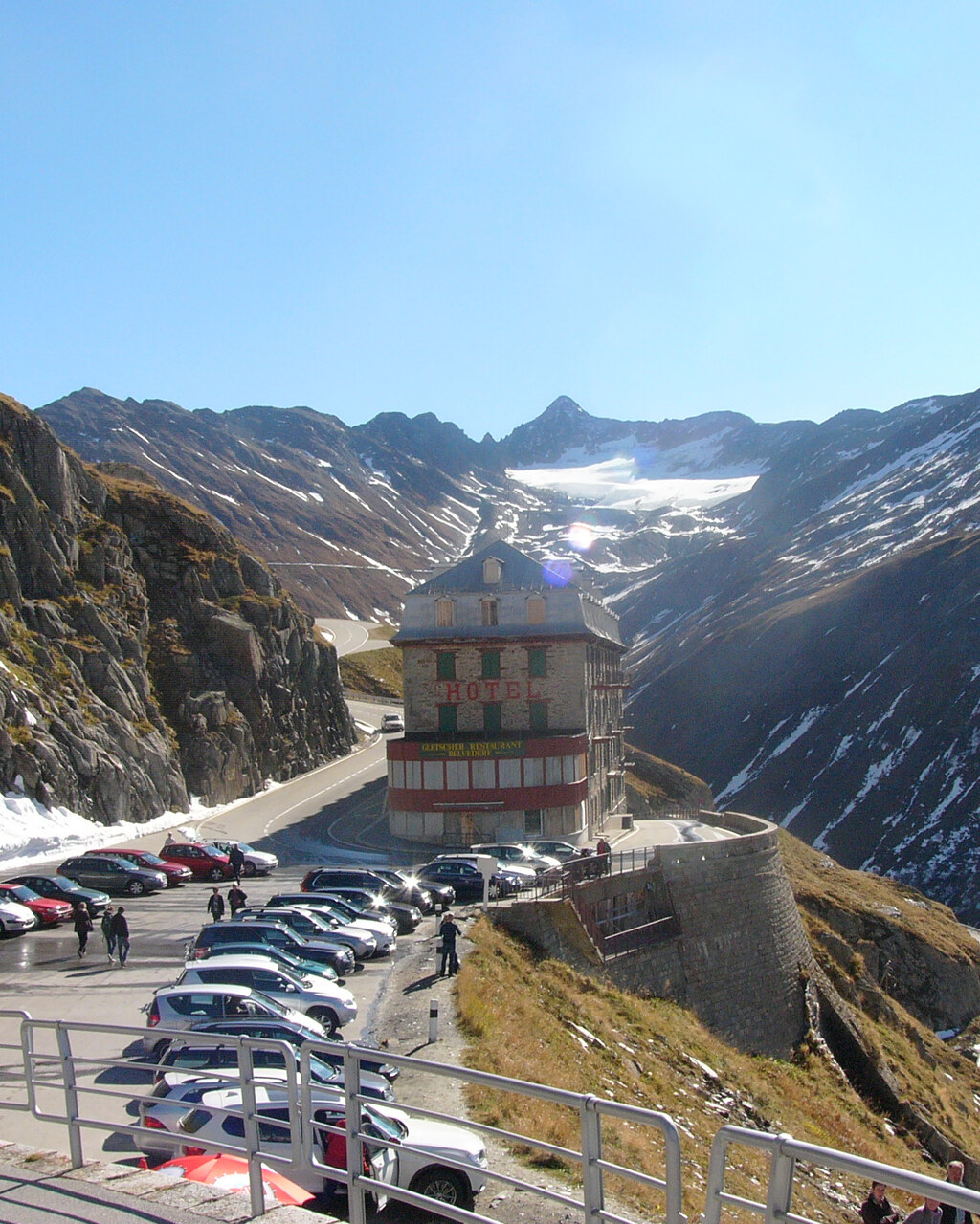
Switzerland, Swiss Alps
Furka Pass
Distance
32 km
Time
55m
Driving
9.5
Furka takes about fifty five minutes end to end, longer if you stop at the Belvédère, and it is open from roughly June to October depending on snow clearance. It is not dangerous if driven with sense, the road is wide and immaculately surfaced, but the drop below the Belvédère hairpin is real and the weather can close in fast above 2,000 metres.