Stage 1
Bruck to Fuscher Törl
The northern climb
Smooth, wide and consistently cambered, gaining altitude through meadow and then bare rock. The Fuscher Törl viewpoint is the classic stop.
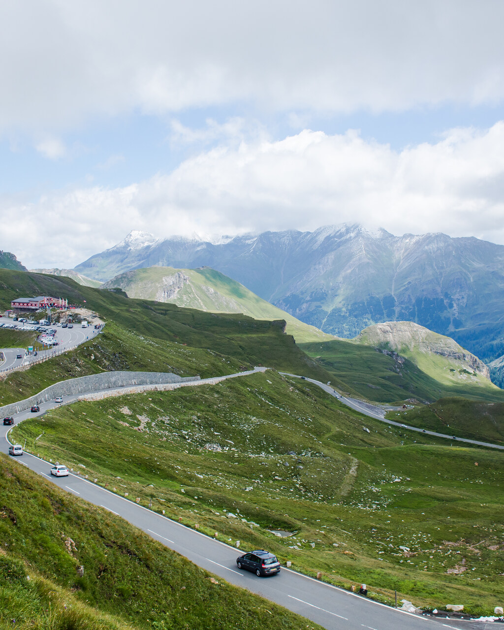
Austria, Hohe Tauern
Distance
48 km
Time
1h 40m
Driving score
9.2
We choose the roads, waypoints are preserved so Google Maps follows the intended route.
Editorial
A toll road built purely for the pleasure of the view, and it shows, every corner is engineered, every viewpoint deliberate. It is not a difficult drive by alpine standards, the surface is excellent and the barriers are sensible, but altitude and thin air can make the upper hairpins feel more serious than they are.
Drive it Bruck to Heiligenblut and before nine in the morning if possible, the road fills with camper vans and motorcycle groups by midday and the toll booth queue grows with it.
The Edelweißspitze spur is worth the extra gravel and switchbacks for the 360 degree summit view, and the Kaiser-Franz-Josefs-Höhe terminus puts you eye to eye with the Pasterze glacier, Austria's largest, visibly retreating year on year.
What makes it special is the sense of occasion: this was built in the 1930s as a statement road, and it remains one of the few places in the Alps where the infrastructure itself, viewing platforms, stone parapets, historic hotels, feels as considered as the driving.
Proprietary scoring
The journey
Start
Bruck an der Glocknerstraße
Toll booth and fuel
Viewpoint
Edelweißspitze
2,571 m cobbled spur
Photo Spot
Fuscher Törl
First real view south to the glaciers
Photo Spot
Kaiser-Franz-Josefs-Höhe
Pasterze glacier
Finish
Heiligenblut
Gothic spire against the peaks
The full guide
Austria's alpine toll road is the most polished mountain drive in Europe. What the ticket costs, when the gates open and which spur roads are worth the extra hour.
The Grossglockner Hochalpenstrasse is a managed experience and that is exactly why it works. The surface is immaculate, the barriers are where you want them, and the whole road is closed and swept every night.
It is a toll road with fixed opening hours, so the planning matters more than on a public pass. Get the timing right and you get 48 kilometres of perfectly engineered alpine driving with two worthwhile spurs.
Stage 1
The northern climb
Smooth, wide and consistently cambered, gaining altitude through meadow and then bare rock. The Fuscher Törl viewpoint is the classic stop.
Stage 2
1.6 km of cobbles
A short steep detour to the highest point reachable by car on the road at 2,571 m. Cobbled, tight and worth it for the panorama.
Stage 3
9 km each way
The glacier road. Slower and busier, but the Pasterze glacier view at the end is the single best sight on the drive.
Stage 4
The southern descent
Through the summit tunnel and down a series of open hairpins into Carinthia. Quieter than the north side in the afternoon.
Planning notes
Around 42 euros for a car day ticket in the 2026 season, with a discounted evening ticket after five. Motorcycles pay less. Prices are set annually, so confirm before you travel.
The gates open at 05:00 in high summer and close in the evening, with shorter hours in May and late October. You must be through the gate before closing, not merely on the road.
Early May to early November, weather permitting. Snow can close it briefly even in June.
Four hours to do it properly with both spurs and a coffee. Two if you drive straight through, but you will have paid full price for half the road.
Guide last reviewed August 2026 by the Drivers Atlas road team.
Where to stay
Tracing the road between your start and finish
0%About 20 seconds left
We may earn a referral commission when you check availability with an accommodation partner. This never affects the price you pay, nor which hotels we recommend.
From the members
No road reports yet. Be the first to drive it and tell us how it went.
Drove this road?
Free membership lets you post road reports, rate drives and save routes.
Keep exploring
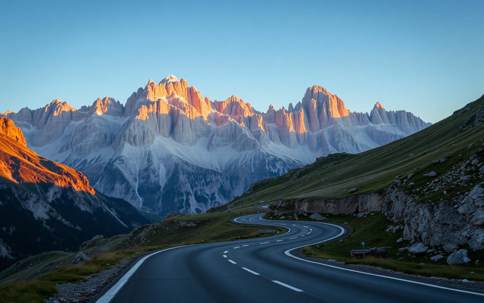
Italy, Dolomites
Distance
187 km
Time
4h 15m
Driving
9.6
Four legendary passes strung between limestone cathedrals, the definitive alpine day.
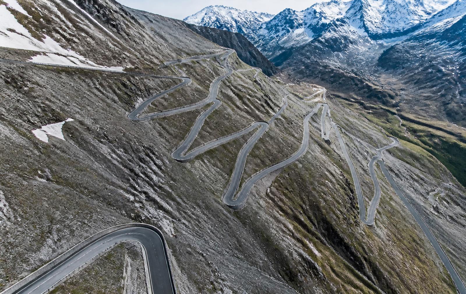
Italy, Italian Alps
Distance
49 km
Time
1h 30m
Driving
9.4
Forty-eight numbered hairpins stacked like a staircase into the sky.