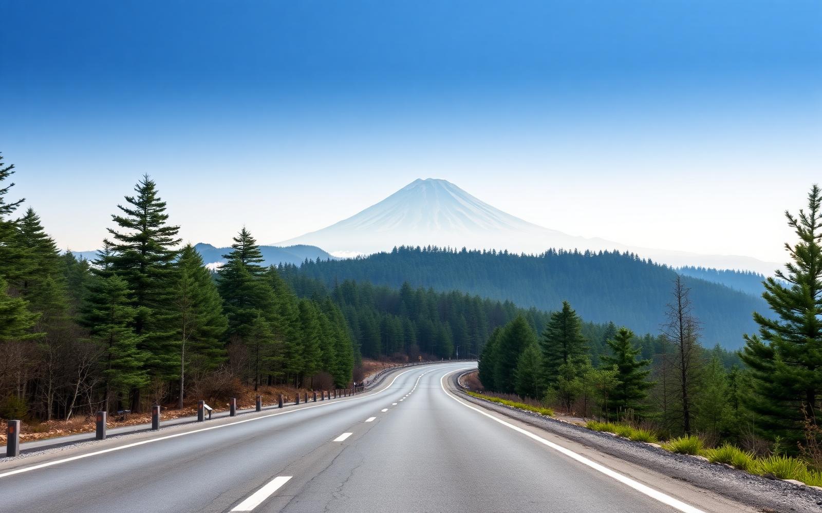
Japan, Kanagawa
Hakone Turnpike & Skyline
Distance
62 km
Time
1h 50m
Driving score
9.1
We choose the roads, waypoints are preserved so Google Maps follows the intended route.
Editorial
Why drive it
Surfaces like a racetrack, corners that repeat with metronomic rhythm, and, if the air is clear at dawn, Fuji filling the windscreen.
- Difficulty
- Moderate
- Road width
- Wide, immaculate toll road
- Surface
- Perfect
- Best direction
- Odawara → Ashinoko
- Best time of day
- Dawn, for Fuji
- Best season
- Year-round; autumn best
- Elevation
- 1,011 m
- Community rating
- 4.8 / 5
Proprietary scoring
The numbers
The journey
Route highlights
Start
Odawara
Toll gate, canned coffee
Viewpoint
Daikanzan
Fuji panorama and café
Photo Spot
Skyline Ridge
Ridge-top run
Finish
Lake Ashi
Torii gate on the water
Where to stay
Stay along this drive
Tracing the road between your start and finish
0%About 20 seconds left
We may earn a referral commission when you check availability with an accommodation partner. This never affects the price you pay, nor which hotels we recommend.
From the members
Road reports
No road reports yet. Be the first to drive it and tell us how it went.
Drove this road?
Free membership lets you post road reports, rate drives and save routes.
Keep exploring
You may also like
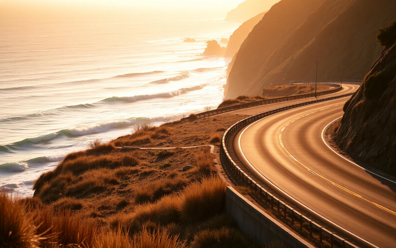
United States, California
Pacific Coast Highway
Distance
196 km
Time
3h 45m
Driving
8.8
Big Sur: cliff, bridge, ocean, repeat, southbound only.
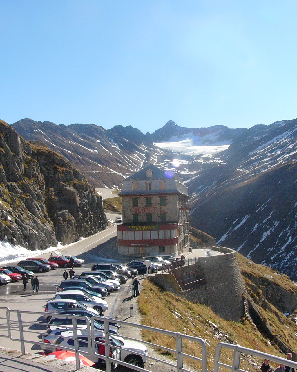
Switzerland, Swiss Alps
Furka Pass
Distance
32 km
Time
55m
Driving
9.5
Furka takes about fifty five minutes end to end, longer if you stop at the Belvédère, and it is open from roughly June to October depending on snow clearance. It is not dangerous if driven with sense, the road is wide and immaculately surfaced, but the drop below the Belvédère hairpin is real and the weather can close in fast above 2,000 metres.