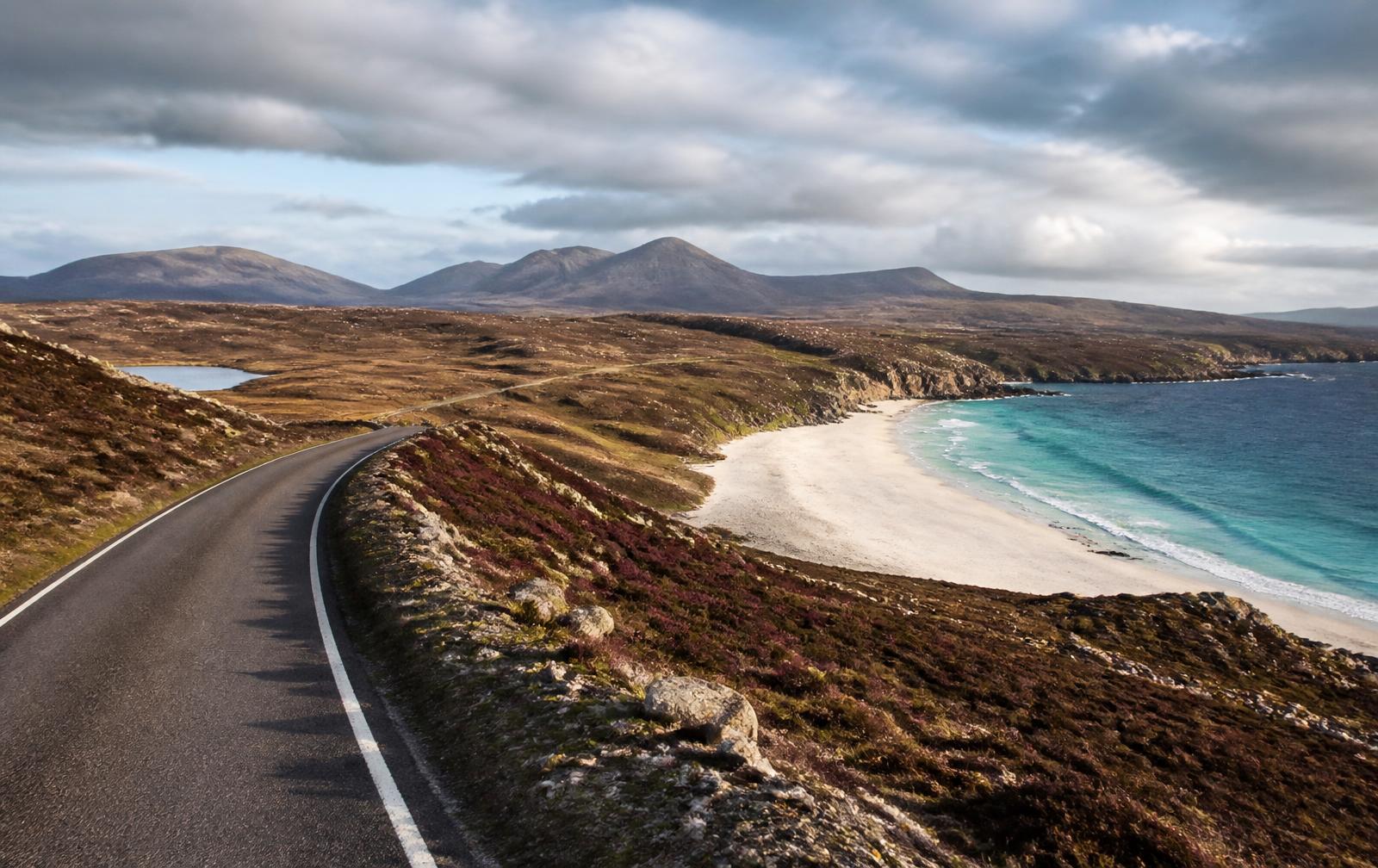
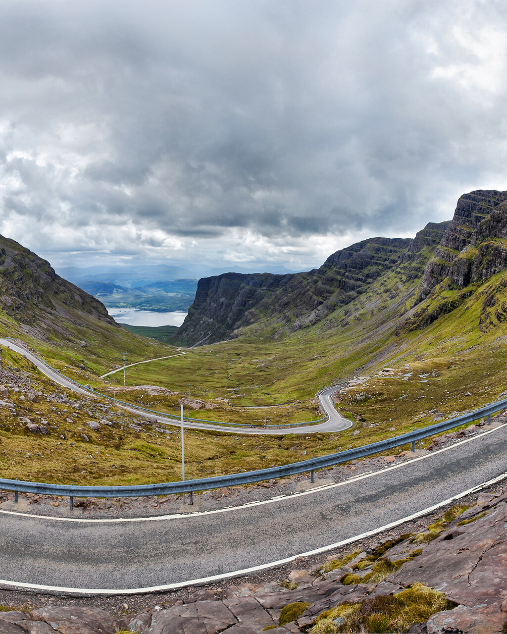
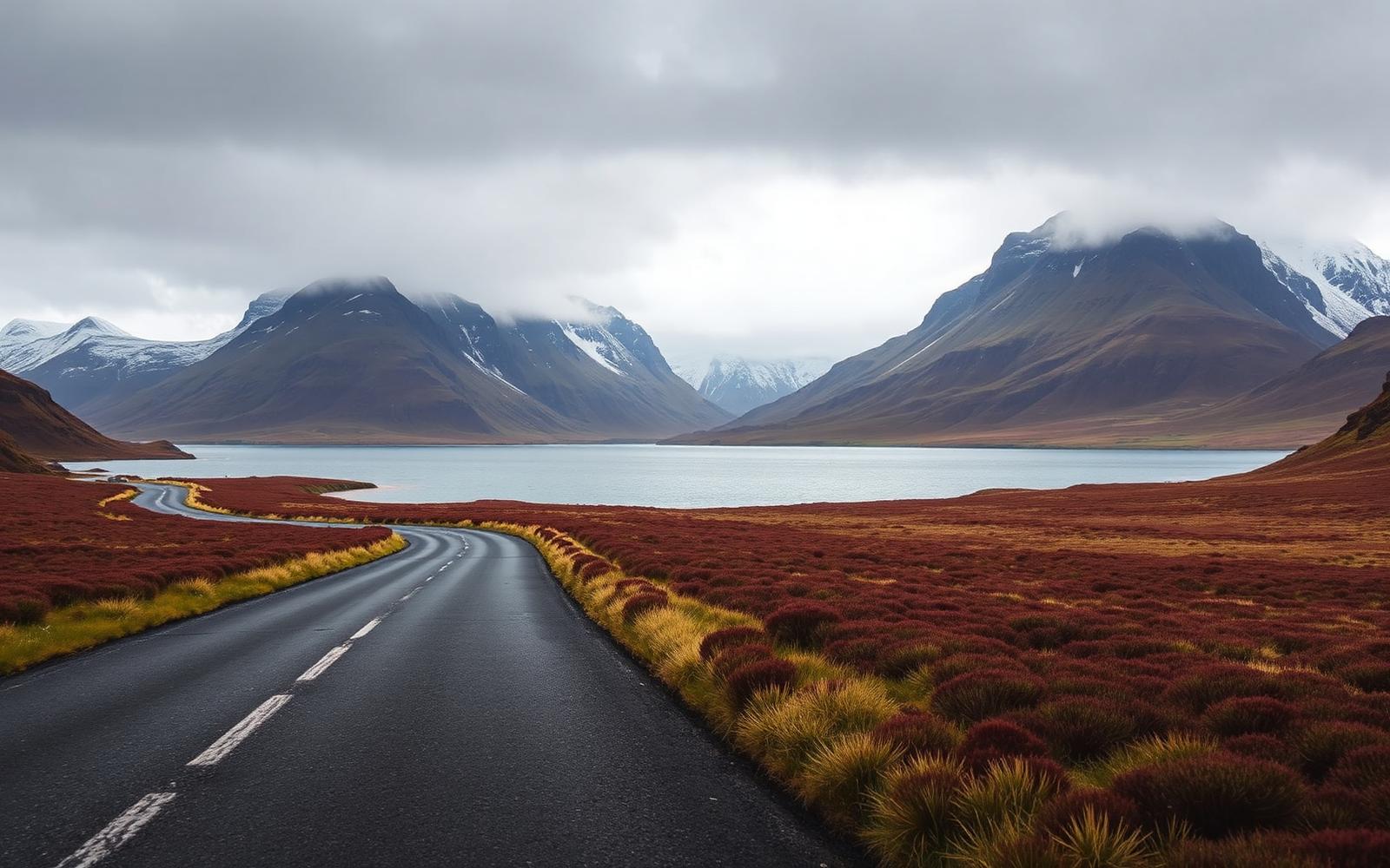
The North Coast 500 works because it never lets the road settle. In a single day you can climb a hairpin pass built for drovers, drop onto a single track shelf above a sea loch, then run for twenty uninterrupted minutes across open moor with nothing ahead but the horizon. It is not one great road. It is roughly forty of them, arranged in a loop that begins and ends at Inverness Castle.
It is also the most misunderstood route in Britain. Most people attempt it in three days, spend those days behind motorhomes, and come home saying it was overrated. Give it five and drive it early, and it becomes one of the best weeks of driving in Europe.
This guide breaks the loop into five driving days, each one ending somewhere with a proper bed, secure parking and a kitchen still open when you arrive.
- Total distance
- 830 km
- Recommended time
- 5 days
- Start and finish
- Inverness
- Highest point
- Bealach na Bà, 626 m
- Toll roads
- None
- Best months
- May, June, September