Stage 1
Bascov to Vidraru Dam
60 km of warm up
Fast valley road that follows the Argeș river, opening into a series of tunnels and the dam wall. Good tarmac and easy pace setting.
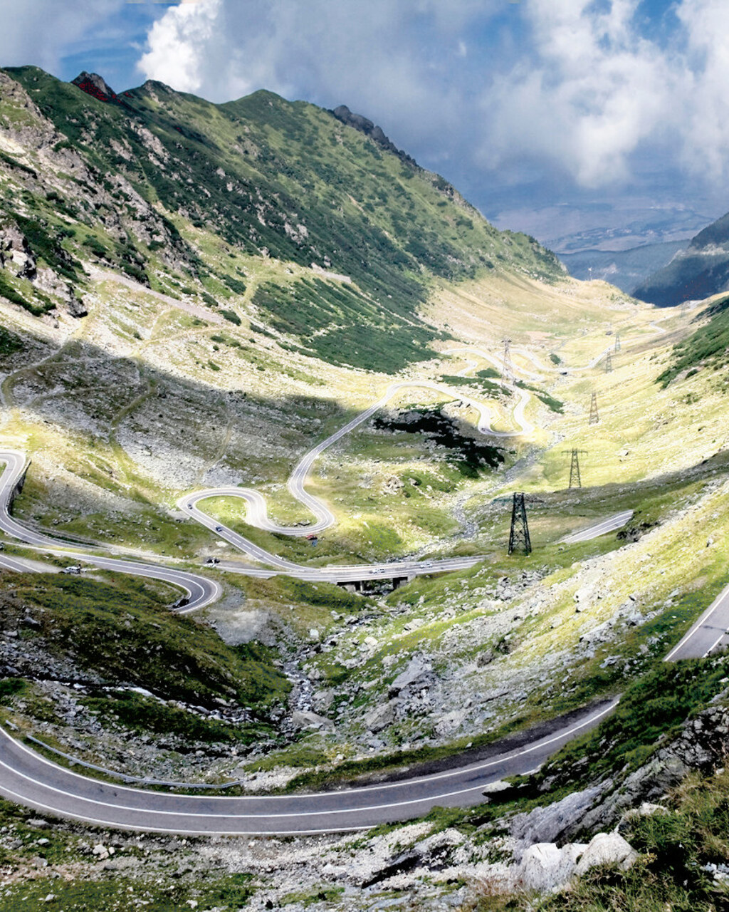
Romania, Carpathians
Distance
151 km
Time
3h 10m
Driving score
9.3
We choose the roads, waypoints are preserved so Google Maps follows the intended route.
Editorial
Built as a military insurance policy, the Transfăgărășan is now Europe's most theatrical strip of tarmac, glacial lake at the top, viaducts hanging in mid-air below, and it delivers on the drama at every one of its switchbacks.
Drive it north to south, starting at Bâlea Lac, so the long southern descent past the Bâlea waterfall and down to the Vidraru dam is done downhill in daylight, when the road is at its most photogenic.
Difficulty depends entirely on traffic and weather. The road itself is well surfaced above Cârțișoara, patchier and narrower on the northern approach, and it is genuinely dangerous in fog or after rain, when the hairpins near the tunnel turn slick.
Best driven early on a summer weekday. What makes it special is the sheer improbability of it, a four lane military road hacked through granite for a war that never came, now given over entirely to driving for pleasure.
Proprietary scoring
The journey
Start
Cârțișoara
Fuel before the climb
Photo Spot
Bâlea Waterfall
The famous switchback stack
Mountain Pass
Bâlea Lac
2,042 m, glacial lake and tunnel
Viewpoint
Vidraru Dam
Concrete arch over the reservoir
Finish
Curtea de Argeș
Monastery and dinner
The full guide
Romania's DN7C climbs to 2,042 metres through the Făgăraș mountains. A guide to the open season, the best direction and the section that actually matters.
The Transfăgărășan was built as a military road in the 1970s and it shows in the way it ignores the terrain. Where a sensible engineer would have gone around, this road goes up, through a tunnel and out the other side.
Fame has brought traffic. The good news is that the crowds concentrate around Bâlea Lake, and the fast flowing lower sections on the north side stay quiet if you time your run properly.
Stage 1
60 km of warm up
Fast valley road that follows the Argeș river, opening into a series of tunnels and the dam wall. Good tarmac and easy pace setting.
Stage 2
The southern climb
The road narrows and starts to stack corners against the mountain wall. Surface quality varies. This is the section most people photograph from above.
Stage 3
2,042 m summit
The highest point, with a glacial lake, food stalls and the 887 metre tunnel through to the north side. Expect people and parked cars.
Stage 4
The driver's half
Wider, smoother and far more rhythmic than the south. Long third gear sweepers with clear sight lines. If you only drive one half, drive this one.
Planning notes
Officially from the end of June to the end of October. Snow gates close the high section outside those dates and the police enforce it.
South to north. You climb the tighter side and descend the flowing one, and you finish with the best driving rather than the busiest car park.
Weekends in July and August are genuinely congested around Bâlea. Drive it on a weekday and start before eight and it is a different road.
Mostly yes. There are patched sections and occasional gravel wash on the southern climb after rain, so leave margin on blind corners.
Guide last reviewed August 2026 by the Drivers Atlas road team.
Where to stay
Tracing the road between your start and finish
0%About 20 seconds left
We may earn a referral commission when you check availability with an accommodation partner. This never affects the price you pay, nor which hotels we recommend.
From the members
No road reports yet. Be the first to drive it and tell us how it went.
Drove this road?
Free membership lets you post road reports, rate drives and save routes.
Keep exploring
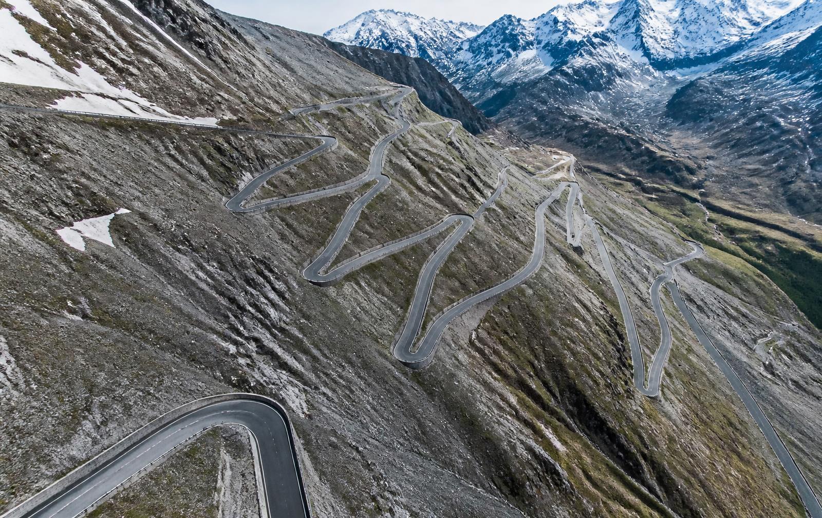
Italy, Italian Alps
Distance
49 km
Time
1h 30m
Driving
9.4
Forty-eight numbered hairpins stacked like a staircase into the sky.
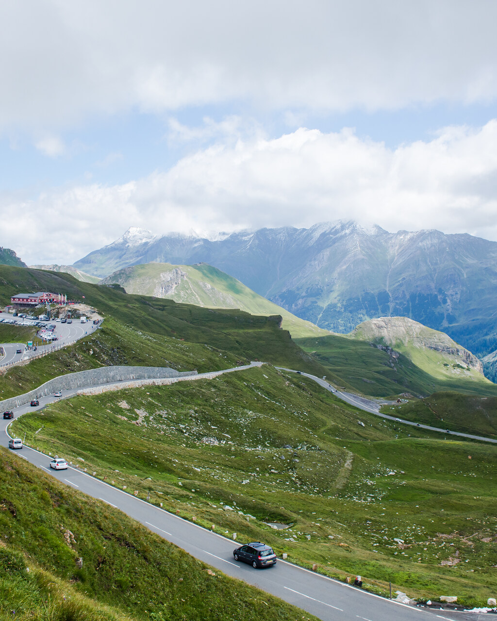
Austria, Hohe Tauern
Distance
48 km
Time
1h 40m
Driving
9.2
Austria's cathedral road, thirty-six corners to a glacier. Allow around an hour and forty minutes for the 48 km toll route without stops, longer with the Edelweißspitze detour, and plan a half day if you want to actually enjoy the viewpoints. The road is a toll road open May to October, closing overnight and completely once the first proper snow arrives.