Asia
Japan
Toll-road perfection, mountain skylines and dawn Fuji runs.
Why drive here
Driving in Japan
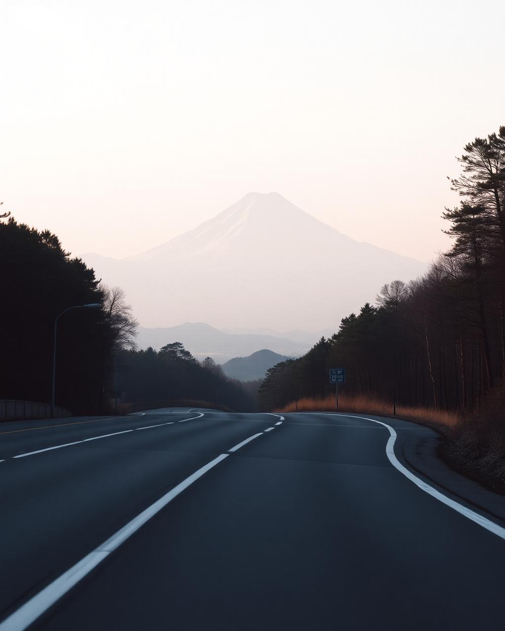
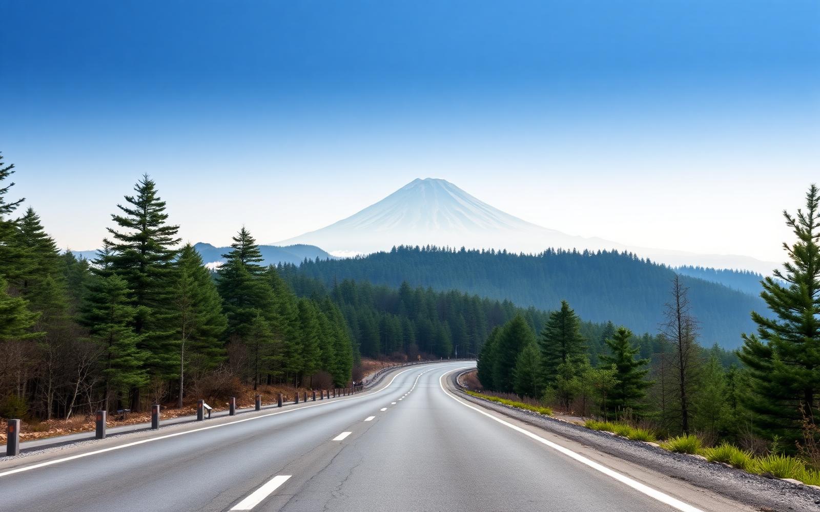
Japan builds toll roads the way Switzerland builds mountain passes, and the Hakone Turnpike and Skyline south west of Tokyo are the result: immaculate, metronomic corners with Mount Fuji filling the windscreen on a clear dawn. Few countries reward an early start quite so generously.
Further from Tokyo, the Japanese Alps offer the Norikura Skyline, one of the highest paved roads in the country, and the Venus Line above Nagano strings together open, high altitude curves with views across a patchwork of farmland far below. Shikoku's karst plateau road, less known abroad, is a favourite among Japanese drivers for its rolling limestone scenery.
Fuel, facilities and signage are all excellent throughout, and the toll road network makes route planning refreshingly predictable. Traffic is generally light outside the immediate Tokyo commuter belt.
Regions
Where to drive in Japan
Editors' picks
Top 5 roads in Japan
Kanagawa
Hakone Turnpike
The toll road every Japanese car magazine uses, fast sweepers with Fuji ahead.
Odawara to Hakone · 14 km
Driving
9.3
Scenery
9
View full route
Northern Alps
Norikura Skyline
Japan's highest paved road climbs above 2700 metres on the Norikura volcano.
Hirayu to Tatamidaira · 14 km
Driving
9
Scenery
9.7
Nagano
Venus Line
A high grassland ridge road with volcano views and long open curves.
Chino to Utsukushigahara · 76 km
Driving
8.8
Scenery
9.3
Nikko
Irohazaka Winding Road
Forty eight lettered hairpins climb to Lake Chuzenji, one way in each direction.
Nikko to Chuzenji · 16 km · R120
Driving
9.2
Scenery
9.4
Quick facts
Planning your trip
When to go
Autumn, from late October to November, for clear air, coloured maple leaves and the best chance of an unobstructed view of Fuji.
What to drive
A precise, high revving sports car feels entirely at home on Japan's smooth toll roads and tightly cambered mountain corners.
Sample itinerary
Tokyo to the Japanese Alps
5 days
Start with an early Hakone Skyline run for Fuji views, then head north west to Nagano for the Venus Line and Norikura Skyline.
The library
Every great road we have mapped in Japan
6 roads, scored for driving quality and scenery, with seasonal notes where they matter. Any of these can be threaded into a journey in the planner.
Fukushima
Bandai Azuma Skyline
Fukushima to Tsuchiyu · 29 km
A volcanic moonscape crossing with sulphur vents beside the tarmac.
Closed November to April, volcanic gas warnings
Driving
8.9
Scenery
9.4
Kumamoto
Aso Milk Road
Ozu to Aso · 45 km · Prefectural 339
Along the rim of the world's biggest caldera, grassland and long fast sweepers.
Fog on the caldera rim, volcanic closures near the crater
Driving
9
Scenery
9.3
Yamanashi
Fuji Subaru Line
Fujiyoshida to Fifth Station · 24 km · Prefectural 707
Around and up Mount Fuji through five climate zones to 2300 metres.
Toll road, closed to private cars in peak climbing season and in winter
Driving
8.8
Scenery
9.4
Ehime
Shikoku Karst Highland
Kumakogen to Tengu Highland · 40 km · R440
A ridge road over limestone pasture with cattle and horizon on both sides.
Snow in winter
Driving
8.7
Scenery
9.2
Tochigi
Kirifuri Highland Road
Nikko to Kirifuri Highland · 20 km · Route 169
Fast open highland curves above Nikko, a favourite of touge regulars in autumn.
Snow from December to March
Driving
8.6
Scenery
8.9
Seto Inland Sea
Shimanami Kaido
Onomichi to Imabari · 60 km · Nishiseto Expressway
Island hopping on great white suspension bridges across the Inland Sea.
Driving
8
Scenery
9.4