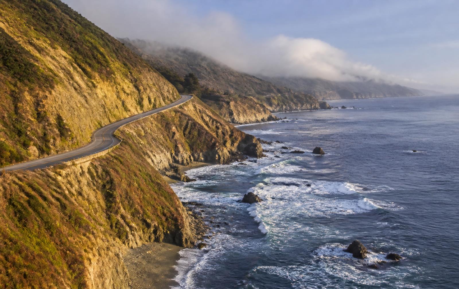
United States, California
Big Sur, Highway One
Distance
145 km
Time
3h 10m
Driving score
8.6
We choose the roads, waypoints are preserved so Google Maps follows the intended route.
Editorial
Why drive it
Southbound puts you on the ocean side, which changes the drive completely. The corners open onto nothing but water and the Bixby Bridge arrives early enough to set the tone.
It is not about pace. The California Highway Patrol is present and the road does not reward it anyway. Roof down, third gear, a stop at Nepenthe and an eye on the fog rolling in behind you.
- Difficulty
- Moderate
- Road width
- Two lanes, cliff edge with low barriers
- Surface
- Good, with slide repairs south of Lucia
- Best direction
- Carmel south to San Simeon, sea on your right
- Best time of day
- After 10:00 once the marine layer burns off
- Best season
- September and October
- Elevation
- 300 m above the ocean at Big Creek
- Community rating
- 4.8 / 5
Proprietary scoring
The numbers
The journey
Route highlights
Start
Carmel-by-the-Sea
Breakfast and fuel before the coast
Photo Spot
Bixby Creek Bridge
The image everyone comes for
Viewpoint
Hurricane Point
Highest, windiest pull off
Lunch
Nepenthe
Terrace eight hundred feet above the sea
Detour
McWay Falls
Waterfall straight onto the beach
EV Charging
Gorda
Expensive fuel, useful chargers
Finish
San Simeon
Elephant seals and the Hearst road
Where to stay
Stay along this drive
Tracing the road between your start and finish
0%About 20 seconds left
We may earn a referral commission when you check availability with an accommodation partner. This never affects the price you pay, nor which hotels we recommend.
From the members
Road reports
No road reports yet. Be the first to drive it and tell us how it went.
Drove this road?
Free membership lets you post road reports, rate drives and save routes.
Keep exploring
You may also like
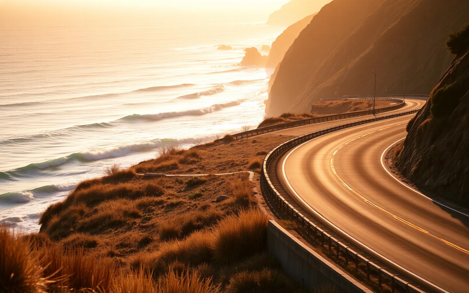
United States, California
Pacific Coast Highway
Distance
196 km
Time
3h 45m
Driving
8.8
Big Sur: cliff, bridge, ocean, repeat, southbound only.
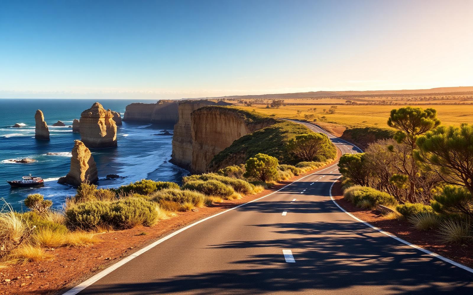
Australia, Victoria
Great Ocean Road
Distance
243 km
Time
4h 30m
Driving
8.6
Surf coast sweepers, rainforest and the Twelve Apostles.
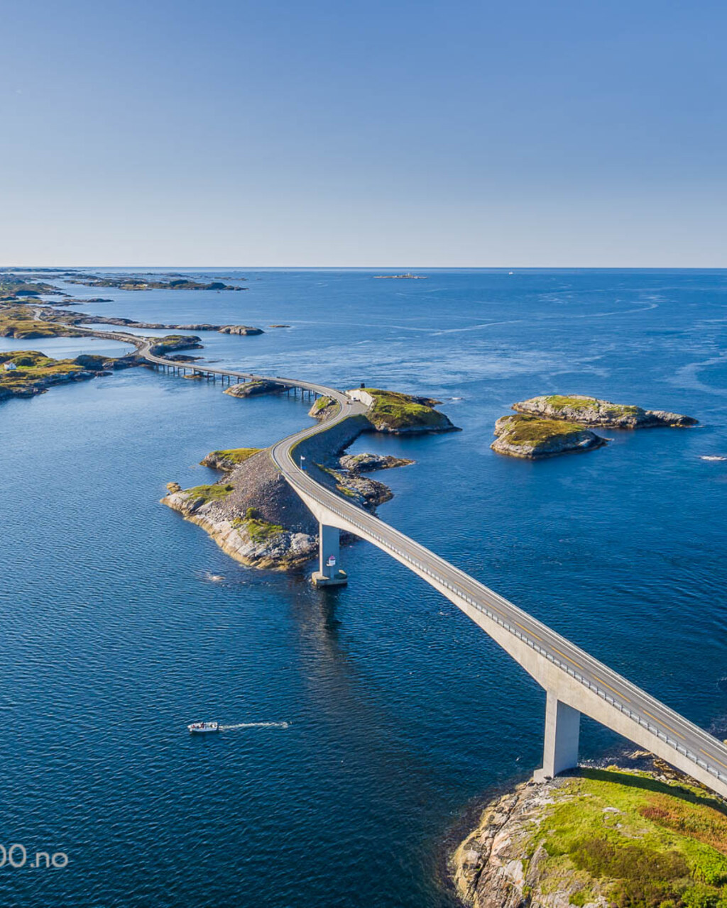
Norway, Western Fjords
The Atlantic Road
Distance
36 km
Time
50m
Driving
8.2
Eight bridges hopping across the open Atlantic, and one of them appears to end in the sky.