Europe
Norway
Fjord ferries, Trollstigen and the Atlantic Road.
Why drive here
Driving in Norway
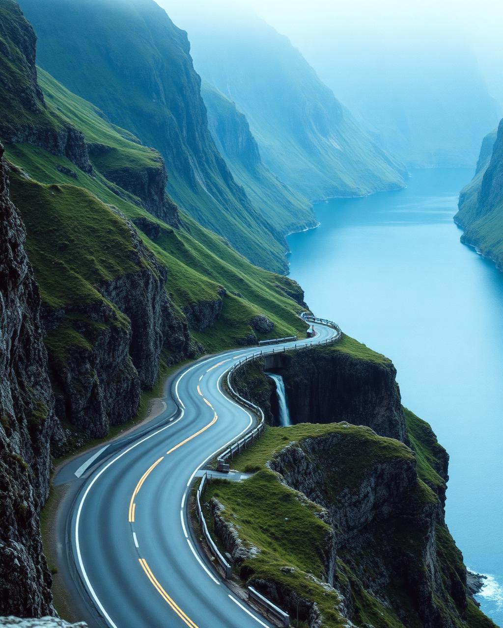
Norway trades hairpin density for sheer scale. The Trollstigen climbs eleven numbered bends up a sheer valley wall beneath waterfalls, and the Atlantic Road skips across open ocean on a series of low bridges with the Norwegian Sea breaking on both sides. Nowhere else combines fjord, mountain and coast quite so dramatically within a single day's drive.
Distances between highlights are longer than in the Alps, and ferries are often part of the route rather than an inconvenience to it. Planning around ferry timetables and the long summer daylight is part of the appeal, allowing a very late departure from a fjordside hotel and still time for a full day's driving.
Roads are generally quiet even in peak season, and the driving itself is more about rhythm and scenery than outright pace. It is one of the few countries where the drive between the great roads is nearly as memorable as the roads themselves.
Regions
Where to drive in Norway
Featured drives
Great roads in Norway
Norway, Western Fjords
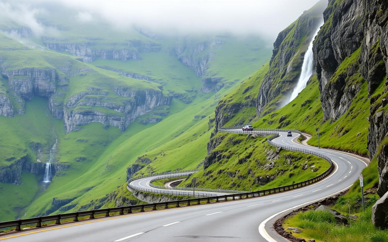
Trollstigen and the Golden Route
Distance
106 km
Time
3h 00m
Driving
9
Eleven hairpins under a waterfall, a ferry across the fjord, then the climb to Dalsnibba.
Norway, Western Fjords
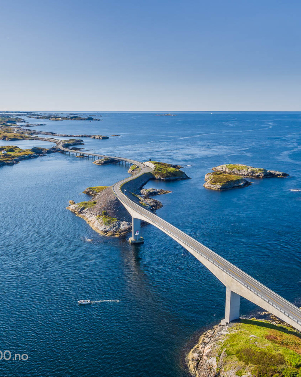
The Atlantic Road
Distance
36 km
Time
50m
Driving
8.2
Eight bridges hopping across the open Atlantic, and one of them appears to end in the sky.
Editors' picks
Top 5 roads in Norway
More og Romsdal, Norway
Trollstigen
Eleven hairpins claw up a sheer valley wall beneath waterfalls and the Trolltindene peaks.
Andalsnes to Valldal · 20 km · Fv63
Driving
9.5
Scenery
9.9
View full route
More og Romsdal, Norway
Atlantic Road
A low bridge skips between skerries with the open Norwegian Sea breaking either side.
Kårvåg to Vevang · 8.3 km · Fv64
Driving
8.8
Scenery
9.8
View full route
More og Romsdal, Norway
Geirangerveien
Hairpins spiral down to the Geirangerfjord past waterfalls with names like the Seven Sisters.
Grotli to Geiranger · 106 km · Fv63
Driving
9.3
Scenery
9.9
Sogn og Fjordane, Norway
Aurlandsfjellet, Snow Road
A high plateau road across bare tundra ending at a stark concrete lookout above the fjord.
Aurland to Laerdal · 47 km · Fv243
Driving
8.9
Scenery
9.7
Sogn og Fjordane, Norway
Gaularfjellet
A scenic tourist route climbing past waterfalls and glacial lakes between two fjord towns.
Sogndal to Forde · 63 km · Fv13
Driving
8.4
Scenery
9.4
Quick facts
Planning your trip
When to go
Late June to August for the longest daylight and reliably open mountain roads, with reduced ferry schedules outside this window.
What to drive
A comfortable, efficient car suits the long transfer distances, with an EV a genuinely practical choice given Norway's charging network.
Sample itinerary
Norway in Four Days: Trollstigen, Fjords and Ferries
4 days
Fly into Alesund, drive the Atlantic Road and Trollstigen on consecutive days, then take the fjord ferries east toward Geiranger.
The library
Every great road we have mapped in Norway
8 roads, scored for driving quality and scenery, with seasonal notes where they matter. Any of these can be threaded into a journey in the planner.
Rogaland
Lysebotn Road
Sirdal to Lysebotn · 30 km · Fv500
Twenty seven hairpins drop 900 metres to the head of the Lysefjord.
Closed in winter
Driving
9.5
Scenery
9.6
Jotunheimen
Sognefjellsvegen
Lom to Turtagro · 108 km · Fv55
Northern Europe's highest mountain crossing, a bare stone plateau between glaciers.
Closed by snow from late October to early May
Driving
9.2
Scenery
9.8
Stryn
Gamle Strynefjellsvegen
Grotli to Videseter · 27 km · Fv258
A gravel and tarmac heritage road between glacier tongues and turquoise meltwater.
Open only from June to October
Driving
9
Scenery
9.6
Voss
Stalheimskleiva
Stalheim to Naerodalen · 1.5 km
Thirteen hairpins at one in five between two waterfalls, the steepest road in northern Europe.
Open summer only, downhill traffic only
Driving
9
Scenery
9.5
Troms
Senja National Tourist Route
Gryllefjord to Botnhamn · 102 km · Fv862
Single track ledges, tunnels through granite and beaches that face the open Arctic.
Snow and storm closures in deep winter
Driving
8.6
Scenery
9.8
Lofoten
Lofoten E10, King Olav's Road
Svolvaer to A i Lofoten · 128 km · E10
Bridge to bridge across the Lofoten wall, jagged peaks straight out of the sea.
Wind and ice through the winter months
Driving
8.4
Scenery
9.9
Innlandet
Valdresflye
Beitostolen to Garli · 50 km · Fv51
A fast open highland run under the Jotunheimen peaks with almost no traffic.
Winter closures and night gate closures in shoulder season
Driving
8.8
Scenery
9.4
Hardanger
Hardangervidda, Rv7
Eidfjord to Geilo · 95 km · Rv7
Europe's largest mountain plateau crossed by a road with no trees and no traffic.
Snow and wind closures in winter
Driving
8.7
Scenery
9.3