Europe
United Kingdom
Moorland hairpins, single-track glens and empty Sunday mornings.
Why drive here
Driving in United Kingdom
The UK rewards drivers who leave the motorway behind. Scotland's Highlands hold some of Europe's finest single track roads, threading past sea lochs and bare granite summits with barely another car in sight. Wales answers with tight, technical passes through Snowdonia and the Brecon Beacons, while England's Lake District and Peak District pack a surprising number of proper mountain roads into a small, accessible corner of the country.
What makes British driving distinctive is the variety within short distances. A long weekend can cover a Highland pass, a coastal single track and a fast open moorland A road without a single motorway transfer of any real length. Weather and light change constantly, and the best driving here often happens at dawn, before the caravans and tour buses appear.
This is also a country built for a proper road trip season. Roads that are impassable in January open up from April, and the long summer evenings mean a Scottish pass at nine at night still has hours of usable light left.
Regions
Where to drive in United Kingdom
Featured drives
Great roads in United Kingdom
United Kingdom, Wales
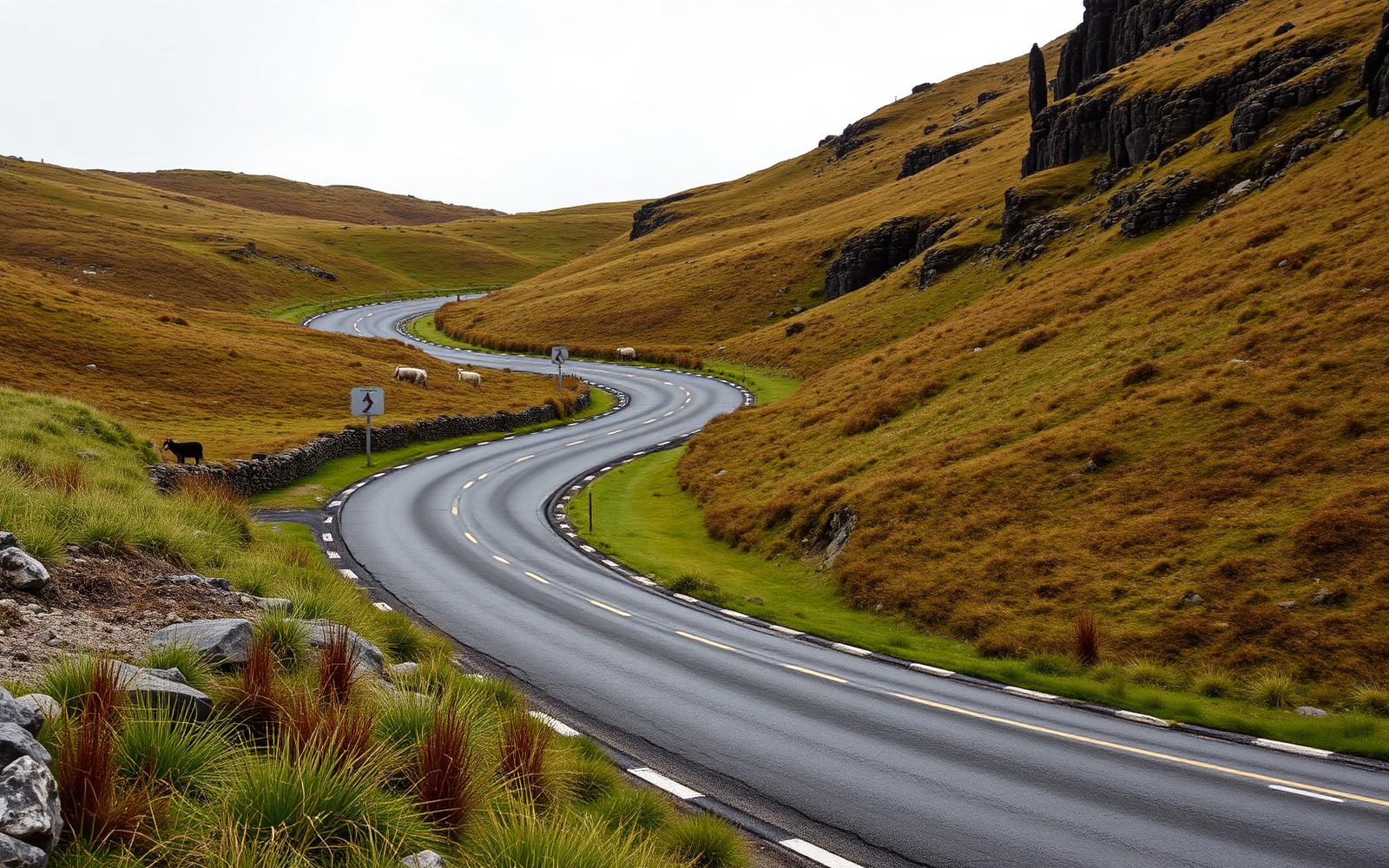
Black Mountain Pass
Distance
31 km
Time
40m
Driving
9
The A4069, Britain's most photogenic set of hairpins.
United Kingdom, Scotland
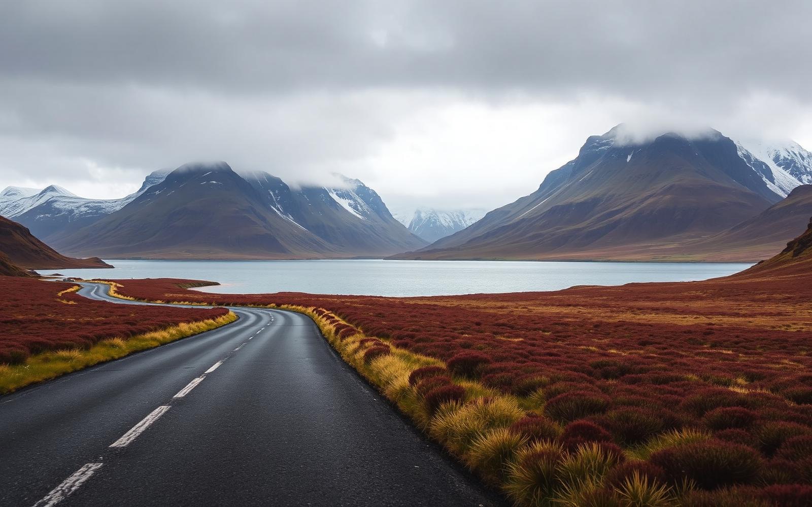
North West Highlands
Distance
402 km
Time
8h 20m
Driving
9.1
Empty single-track, sea lochs and the Bealach na Bà.
United Kingdom, Scottish Highlands
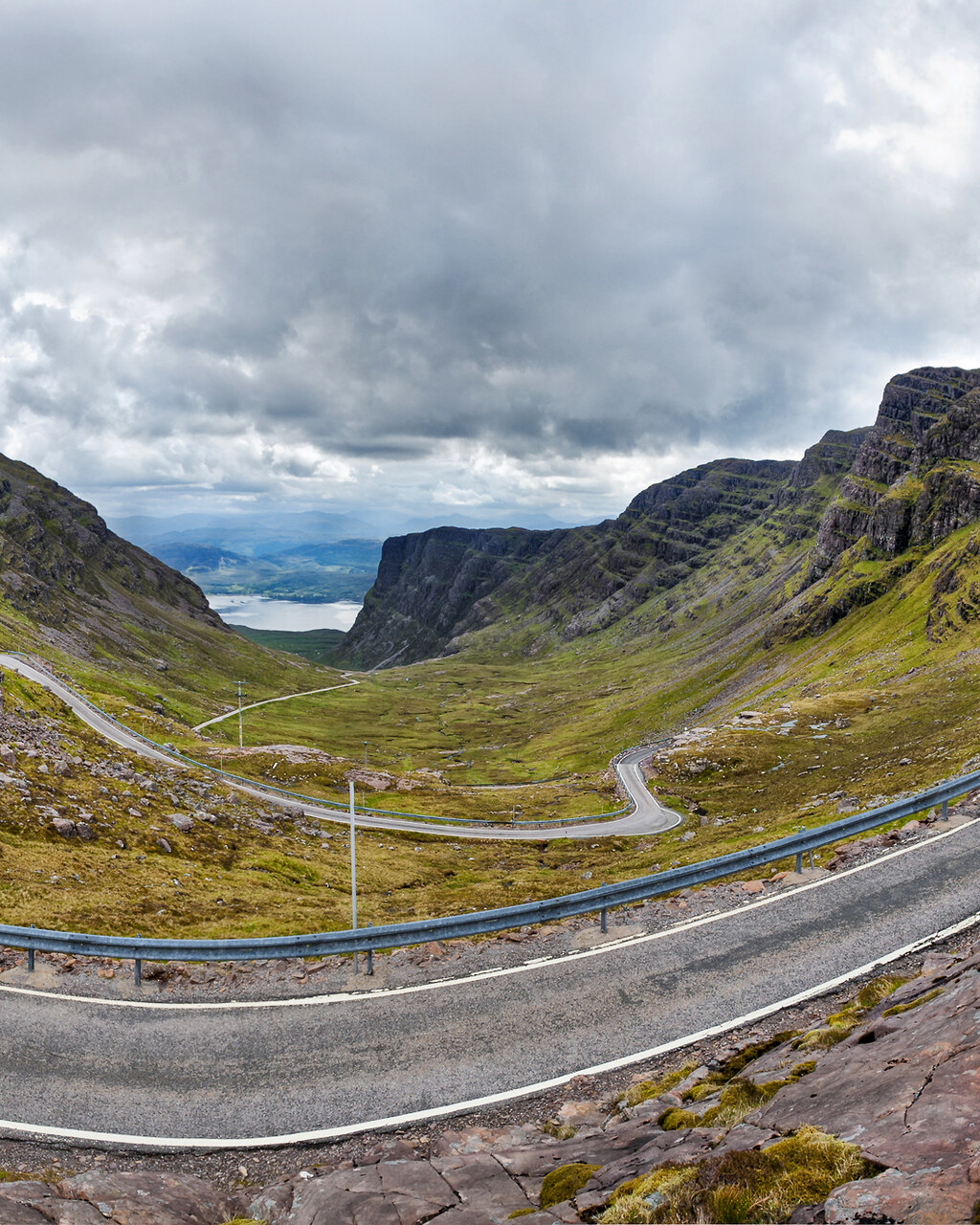
Bealach na Bà and Applecross
Distance
88 km
Time
2h 30m
Driving
9.3
Britain's most alpine road, then a coast road that most people never bother to finish.
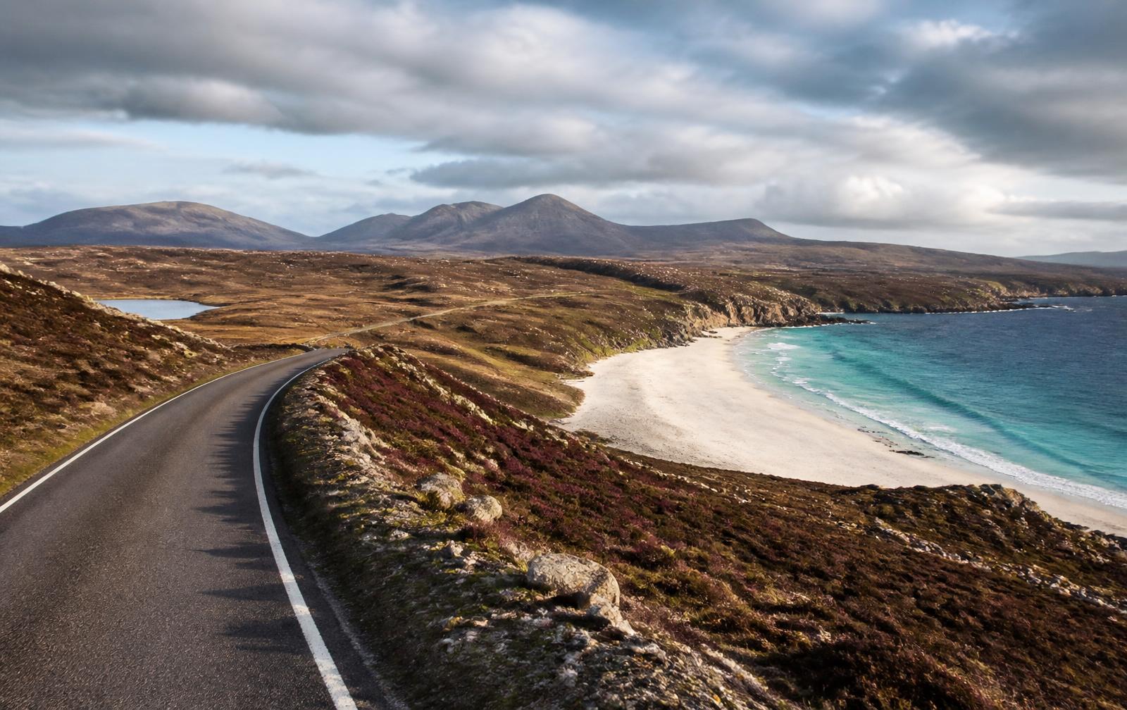
United Kingdom, Scottish Highlands
North Coast 500
Distance
830 km
Time
5 days
Driving
8.5
Scotland's answer to Route 66: an 830 kilometre loop from Inverness to the far north and back again.
Editors' picks
Top 5 roads in United Kingdom
Applecross, Scottish Highlands
Bealach na Ba
Britain's highest road climbs via hairpins to a wild moonscape pass above Applecross.
Tornapress to Applecross · 18.5 km
Driving
9.8
Scenery
9.9
View full route
Brecon Beacons, Wales
Black Mountain Pass
A ribbon of hairpins climbing a bare Welsh moorland made famous by Top Gear.
Brynamman to Llangadog · 19 km · A4069
Driving
9.5
Scenery
9.3
View full route
Glen Coe, Scottish Highlands
Glencoe Road
A sweeping run through Rannoch Moor beneath the brooding Buachaille Etive Mor.
Bridge of Orchy to Glencoe village · 30 km · A82
Driving
9
Scenery
9.8
Lake District, England
Hardknott Pass
England's steepest road gradient, a brutal one in three climb over Roman ruins.
Boot to Eskdale Green · 5 km
Driving
9.7
Scenery
9.2
Antrim Coast, Northern Ireland
Causeway Coastal Route
One of the world's great coast roads, hugging cliffs beneath nine dramatic glens.
Larne to Portrush · 48 km · A2
Driving
8.6
Scenery
9.6
Quick facts
Planning your trip
When to go
May to September for reliable weather and open passes, with the shoulder months of April and October the quietest for empty roads.
What to drive
A car with real ground clearance and a compact footprint suits the single track roads best, though a sports GT is superb on the faster Highland A roads.
Sample itinerary
The Scottish Highlands in Four Days
4 days
Fly into Glasgow, head north through Glencoe and Bealach na Ba, then loop back via the Cairngorms with two nights among the Applecross and Torridon peaks.
The library
Every great road we have mapped in United Kingdom
32 roads, scored for driving quality and scenery, with seasonal notes where they matter. Any of these can be threaded into a journey in the planner.
Wester Ross, Scotland
Applecross Coast Road
Applecross to Shieldaig · 25 km
A lochside single track with views straight across to Skye and the Cuillins.
Occasional storm closures but lower and gentler than Bealach na Ba
Driving
9.1
Scenery
9.7
Sutherland, Scotland
Kylesku to Durness
Kylesku to Durness · 45 km · A894
A remote NC500 highlight of sea lochs, switchbacks and empty moorland roads.
Exposed to high winds and occasional snow
Driving
8.9
Scenery
9.7
Isle of Skye, Scotland
Quiraing Road
Staffin to Uig · 13 km
A high single track skirting the surreal landslipped pinnacles of the Trotternish ridge.
High winds and fog frequently affect the summit
Driving
8.7
Scenery
9.9
Snowdonia, Wales
Llanberis Pass
Llanberis to Capel Curig · 16 km · A4086
A dramatic pass beneath Snowdon's crags linking two of Wales's most storied villages.
Can ice near the summit in cold snaps
Driving
9
Scenery
9.6
Lake District, England
Honister Pass
Borrowdale to Buttermere · 6.5 km · B5289
A steep slate quarry pass squeezed between towering fells above Buttermere.
Ice and snow can close the summit in winter
Driving
9.1
Scenery
9.4
Kintail, Scottish Highlands
Glen Shiel Road
Invergarry to Shiel Bridge · 38 km · A87
A fast sweeping glen road beneath the jagged Five Sisters of Kintail ridge.
Snow and wind common in the glen during winter
Driving
8.8
Scenery
9.6
Lake District, England
Wrynose Pass
Little Langdale to Cockley Beck · 6.5 km
Narrow single track linking Langdale to Duddon Valley over the ancient Three Shire Stone.
Prone to ice and occasional winter closure
Driving
9.2
Scenery
9.1
Yorkshire Dales, England
Buttertubs Pass
Hawes to Muker · 11 km · B6270
Tour de France famous climb past limestone potholes between two classic dale villages.
Snow can close the pass for short periods in winter
Driving
9
Scenery
9.2
Antrim Coast, Northern Ireland
Torr Head Coast Road
Cushendun to Ballyvoy · 13 km
A hair raising cliff edge single track with views across to the Mull of Kintyre.
Very narrow, can be treacherous in wind and rain
Driving
8.7
Scenery
9.5
North Pennines, England
Hartside Pass
Alston to Melmerby · 13 km · A686
A biker's classic with wide open views across the Eden Valley to the Lakeland fells.
One of England's first roads to close in snow
Driving
9
Scenery
9.1
Peak District, England
Cat and Fiddle Road
Macclesfield to Buxton · 11.5 km · A537
A biker and driver favourite of fast open curves past England's second highest pub.
Ice and fog common on the exposed summit in winter
Driving
9.3
Scenery
8.5
Wester Ross, Scotland
Lochcarron Coastal Road
Lochcarron to Shieldaig · 25 km · A896
A narrow, twisting sea loch road with constant views over to the Applecross hills.
Can be affected by winter storms
Driving
8.5
Scenery
9.3
Argyll, Scotland
Rest and Be Thankful
Arrochar to Cairndow · 13 km · A83
A dramatic zigzag climb through Glen Croe famous for its recurring landslides.
Landslip prone, frequently closed after heavy rain
Driving
8.6
Scenery
9.2
Peak District, England
Snake Pass
Glossop to Ladybower Reservoir · 16 km · A57
Sweeping moorland A road that rolls and dips across the wild Pennine spine.
Regularly closed by snow drifts in winter
Driving
8.9
Scenery
8.8
Forest of Bowland, England
Trough of Bowland
Dunsop Bridge to Marshaw · 10 km
A ribbon of tarmac threading heather fells said to mark the centre of Britain.
Can flood or ice over in poor weather
Driving
8.8
Scenery
8.9
Denbigh Moors, Wales
Evo Triangle, A543
Denbigh to Pentrefoelas · 24 km · A543
One leg of the legendary Evo Triangle, a flowing high speed moorland test road.
Exposed moorland stretch can ice in winter
Driving
9.4
Scenery
8.3
Black Mountains, Wales
Gospel Pass
Hay-on-Wye to Capel-y-ffin · 11 km
Wales's highest surfaced road climbs open sheepwalks above the Wye valley.
The highest road pass in Wales, closes in heavy snow
Driving
8.6
Scenery
9.1
Denbighshire, Wales
Horseshoe Pass
Llangollen to Ruthin · 18 km · A542
A famous horseshoe bend switchback climbing out of the Vale of Llangollen.
Snow gates close the summit in severe winter weather
Driving
8.9
Scenery
8.7
Snowdonia, Wales
Evo Triangle, A5
Pentrefoelas to Cerrigydrudion · 10 km · A5
The connecting stretch of the Evo Triangle beloved for its rhythmic fast corners.
Driving
9.3
Scenery
8.2
Cairngorms, Scotland
Cairnwell Pass
Braemar to Spittal of Glenshee · 16 km · A93
Britain's highest classified road climbs a bleak ski pass above Glenshee.
The highest main road in the UK, regularly closed by snow
Driving
8.5
Scenery
9
Wester Ross, Scotland
Corrieshalloch Road
Ullapool to Braemore Junction · 19 km · A835
A flowing highland road that skirts a spectacular hidden gorge and waterfall.
Can be affected by winter snow showers
Driving
8.3
Scenery
9
Lake District, England
Kirkstone Pass
Ambleside to Patterdale · 11 km · A592
The highest road pass in the Lakes open to through traffic, with sweeping fell views.
The highest pub in England marks a summit that ices readily
Driving
8.4
Scenery
8.9
Mid Wales
Elan Valley Road
Rhayader to Elan Village · 10 km · B4518
A serene reservoir road threading dams and pine forest deep in mid Wales.
Driving
8.3
Scenery
9
Snowdonia, Wales
Crimea Pass
Blaenau Ffestiniog to Betws-y-Coed · 13 km · A470
A former mountain pass road with fast sweepers overlooking slate valleys.
Ice forms readily on the exposed summit
Driving
8.4
Scenery
8.8
Ceredigion, Wales
Cardigan Coast Road
Aberystwyth to Cardigan · 39 km · A487
A rolling coastal A road with sweeping bends and constant glimpses of Cardigan Bay.
Driving
8.1
Scenery
8.9
Caithness, Scotland
Berriedale Braes
Berriedale to Dunbeath · 6 km · A9
Two tight hairpin descents drop the A9 into a dramatic cliffside river gorge.
Steep hairpins can ice in winter
Driving
8.2
Scenery
8.7
Forest of Bowland, England
Long Preston to Slaidburn
Long Preston to Slaidburn · 14 km
An overlooked back road across rolling limestone fells with almost no traffic.
Driving
8.2
Scenery
8.4
Northumberland, England
Military Road
Chollerford to Greenhead · 32 km · B6318
An arrow straight Roman era road that rolls dramatically beside Hadrian's Wall.
Driving
7.9
Scenery
8.7
Ayrshire, Scotland
Electric Brae Road
Croy Bay to Dunure · 8 km · A719
A coastal optical illusion road where cars appear to roll uphill on their own.
Driving
7.9
Scenery
8.5
Peak District, England
Goyt Valley Road
Errwood to Buxton · 8 km
A quiet forested run past reservoirs favoured by locals over the busier Cat and Fiddle.
Ice can form near the reservoirs in winter
Driving
8
Scenery
8.4
Cairngorms, Scotland
Drumochter Pass
Dalwhinnie to Blair Atholl · 33 km · A9
Scotland's highest main road summit crossing wide open Cairngorm moorland.
Snow and wind closures common in winter
Driving
7.8
Scenery
8.6
Sperrin Mountains, Northern Ireland
Glenshane Pass
Dungiven to Maghera · 18 km · A6
Northern Ireland's highest main road crossing sweeps over bleak Sperrin moorland.
Prone to fog and occasional snow closures
Driving
7.6
Scenery
8.2