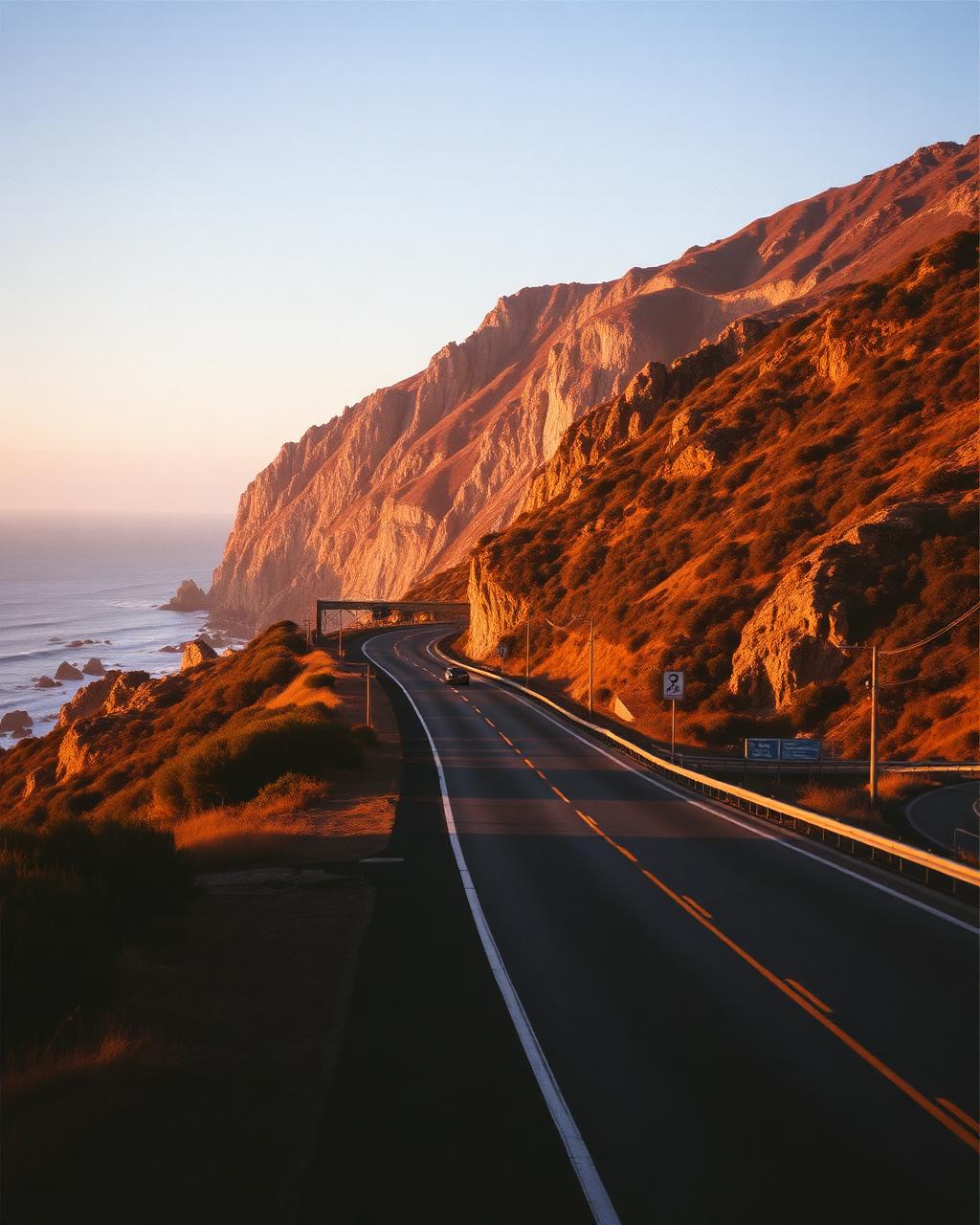
Americas
United States
Big Sur, Blue Ridge, Tail of the Dragon and desert straights.
Why drive here
Driving in United States
The United States holds an extraordinary range of driving roads across a continent sized country. California alone offers Highway One through Big Sur, a cliffside run best driven southbound with the ocean on the near side, and the winding climbs of Angeles Crest above Los Angeles. Montana and Wyoming answer with the high altitude drama of Beartooth Highway and the glacier framed climbs of Going to the Sun Road.
The Appalachians bring a different pleasure entirely: the Blue Ridge Parkway runs for hundreds of unhurried miles along a forested ridge line, while Tail of the Dragon in Tennessee packs an almost absurd number of corners into a short, famous stretch of mountain road. Colorado's Million Dollar Highway threads a mining era route through the San Juan mountains with drops that concentrate the mind.
Given the distances involved, most visitors are better served picking one region properly rather than attempting to link the coasts, and fuel, food and accommodation are all straightforward to plan around on any of these routes.
Regions
Where to drive in United States
Featured drives
Great roads in United States
United States, California
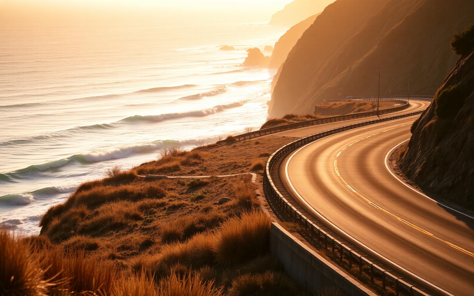
Pacific Coast Highway
Distance
196 km
Time
3h 45m
Driving
8.8
Big Sur: cliff, bridge, ocean, repeat, southbound only.
United States, California
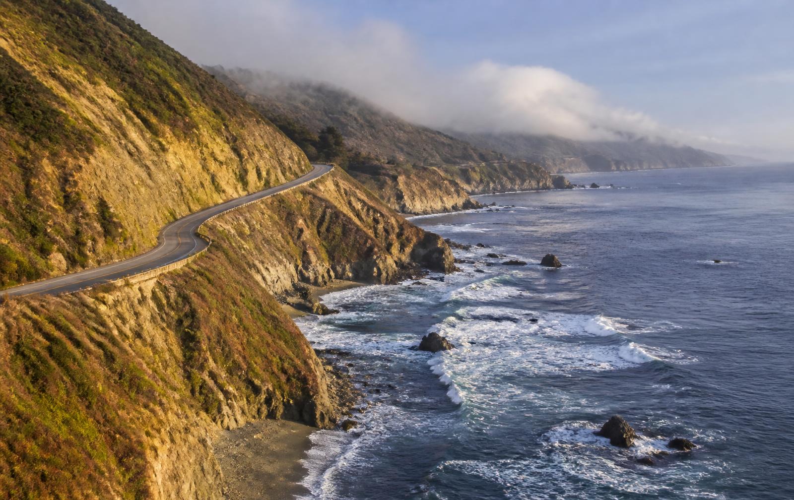
Big Sur, Highway One
Distance
145 km
Time
3h 10m
Driving
8.6
A hundred and forty five kilometres of cliff, redwood and Pacific, best driven southbound.
Editors' picks
Top 5 roads in United States
California
Highway 1, Big Sur
The Pacific coast at its most theatrical, cliff curves above the open ocean.
Carmel to San Simeon · 145 km · SR 1
Driving
9.1
Scenery
9.9
View full route
Tennessee and North Carolina
Tail of the Dragon, US129
318 curves in 11 miles, the most famous stretch of asphalt in America.
Deals Gap to Tabcat Bridge · 18 km · US 129
Driving
9.6
Scenery
9
Virginia and North Carolina
Blue Ridge Parkway
A ridgeline parkway with no trucks, no billboards and endless mountain overlooks.
Waynesboro to Asheville · 700 km
Driving
8.7
Scenery
9.6
Montana and Wyoming
Beartooth Highway
Swaths of switchbacks climb to 3337 metres past alpine lakes and snowfields.
Red Lodge to Cooke City · 109 km · US 212
Driving
9.4
Scenery
9.9
Montana
Going to the Sun Road
A cliff shelf road through Glacier National Park under hanging valleys.
West Glacier to St Mary · 80 km
Driving
9
Scenery
9.9
Quick facts
Planning your trip
When to go
Late spring and early autumn suit most regions, though the high passes in Montana and Colorado are only open from June to September.
What to drive
A comfortable convertible or GT suits the long coastal and parkway distances, while a nimble sports car is made for Tail of the Dragon's corners.
Sample itinerary
California's Highway One
4 days
Drive Highway One south from Carmel through Big Sur to San Simeon, with stops at Bixby Bridge and McWay Falls along the way.
The library
Every great road we have mapped in United States
35 roads, scored for driving quality and scenery, with seasonal notes where they matter. Any of these can be threaded into a journey in the planner.
Utah
Utah Scenic Byway 12
Panguitch to Torrey · 198 km · SR 12
Slickrock, the Hogback ridge with drops both sides, and red canyon after red canyon.
Snow on Boulder Mountain from November to April
Driving
9.3
Scenery
9.8
Colorado
Million Dollar Highway
Ouray to Silverton · 40 km · US 550
A mining road cut into the San Juan cliffs with sheer drops and no barrier.
Snow, avalanche and no guardrails in winter
Driving
9.3
Scenery
9.7
Colorado
Independence Pass
Aspen to Twin Lakes · 51 km · SR 82
Narrow shelf tarmac to 3687 metres, tight, exposed and completely absorbing.
Closed from early November to late May
Driving
9.1
Scenery
9.5
Wyoming
Chief Joseph Scenic Byway
Cody to Cooke City · 76 km · WY 296
Switchbacks over Dead Indian Pass into a canyon nobody else seems to know about.
Closed by snow in winter above Dead Indian Pass
Driving
9
Scenery
9.6
California
Sonora Pass
Strawberry to US 395 · 77 km · SR 108
The steepest Sierra crossing, narrow and demanding with barely a car on it midweek.
Closed in winter, 26 percent gradients
Driving
9.2
Scenery
9.4
Tennessee and North Carolina
Cherohala Skyway
Tellico Plains to Robbinsville · 69 km · TN 165 and NC 143
Wide, fast and empty, the grown up alternative to the Tail of the Dragon next door.
Ice and closures possible in winter
Driving
9.2
Scenery
9.4
Hawaii
Haleakala Highway
Kula to Haleakala summit · 38 km · HI 378
Sea level to 3055 metres in 38 km, 29 switchbacks and a crater at the end.
Sunrise entry needs a reservation, cold at the top
Driving
9
Scenery
9.6
Utah
Zion Mount Carmel Highway
Springdale to Mount Carmel Junction · 39 km · SR 9
Switchbacks out of Zion Canyon into a mile long tunnel with windows cut in the rock.
Escort required for large vehicles in the tunnel
Driving
8.8
Scenery
9.7
Colorado
Trail Ridge Road
Estes Park to Grand Lake · 77 km · US 34
The highest continuous paved road in America, tundra above the treeline the whole way.
Closed from mid October to late May
Driving
8.7
Scenery
9.8
Colorado
San Juan Skyway
Durango to Telluride · 190 km · US 550 and SR 145
A full loop of the San Juans taking in Coal Bank, Molas and Lizard Head passes.
Snow closes sections in winter
Driving
8.9
Scenery
9.6
Washington
North Cascades Highway
Marblemount to Winthrop · 114 km · SR 20
Glacier peaks, turquoise reservoirs and long clean sweepers with almost no traffic.
Closed between Ross Dam and Winthrop from November to April
Driving
8.8
Scenery
9.7
California
Tioga Pass Road
Crane Flat to Lee Vining · 100 km · SR 120
Yosemite high country, granite domes and meadows, then a drop to Mono Lake.
Closed from November to late May or June
Driving
8.7
Scenery
9.8
Alaska
Seward Highway
Anchorage to Seward · 204 km · AK 1 and AK 9
Turnagain Arm tides on one side, glaciers on the other, all the way to the sea.
Ice and avalanche control closures in winter
Driving
8.6
Scenery
9.9
Arizona
Oak Creek Canyon, AZ 89A
Sedona to Flagstaff · 45 km · AZ 89A
Red rock Sedona at one end, pine forest at the other, with a hairpin climb between.
Ice on the switchbacks in winter
Driving
8.9
Scenery
9.5
Colorado
Pikes Peak Highway
Cascade to Pikes Peak summit · 31 km
156 corners to 4302 metres on the hill climb road every driver knows by name.
Summit closes in bad weather, brake checks on descent
Driving
8.8
Scenery
9.6
Hawaii
Road to Hana
Paia to Hana · 84 km · HI 360
620 curves and 59 bridges through rainforest and waterfalls on Maui's north shore.
Rain and one lane bridges, take your time
Driving
8.6
Scenery
9.7
Colorado
Mount Blue Sky Road
Idaho Springs to Mount Blue Sky summit · 45 km · SR 5
No guardrails, thin air and switchbacks to the highest paved road in North America.
Open only from late May to early September
Driving
8.6
Scenery
9.7
California
Angeles Crest Highway
La Canada to Wrightwood · 106 km · SR 2
Los Angeles's mountain playground, hours of clean sweepers above the basin.
Snow closures on the high sections in winter
Driving
9.2
Scenery
9
Oregon
US 101 Oregon Coast
Astoria to Brookings · 590 km · US 101
Headlands, sea stacks and empty cliff curves for the whole length of the Oregon shore.
Coastal fog and winter storms
Driving
8.4
Scenery
9.6
Washington
Hurricane Ridge Road
Port Angeles to Hurricane Ridge · 29 km
A climb from sea level to an Olympic ridge with the Strait of Juan de Fuca behind you.
Winter access limited to weekends and chains
Driving
8.5
Scenery
9.5
New Hampshire
Kancamagus Highway
Lincoln to Conway · 55 km · NH 112
White Mountain sweepers with no services and the best autumn colour in America.
Spectacular but very busy during October leaf season
Driving
8.5
Scenery
9.5
Utah and Arizona
US 163 Monument Valley
Mexican Hat to Kayenta · 72 km · US 163
The straight every film crew shoots, buttes rising straight out of the desert floor.
Summer heat and sudden dust storms
Driving
8
Scenery
9.8
Oregon
Historic Columbia River Highway
Troutdale to Hood River · 121 km · US 30
America's first scenic highway, hand built curves past Multnomah Falls and gorge viewpoints.
Waterfall corridor gets very busy in summer
Driving
8.4
Scenery
9.4
Tennessee
The Snake, US 421
Mountain City to Shady Valley · 19 km · US 421
489 curves in 12 miles over Iron Mountain, a proper southern Appalachian sprint.
Popular with bikes at weekends
Driving
9
Scenery
8.8
Wyoming
Bighorn Medicine Wheel Passage
Lovell to Burgess Junction · 52 km · US 14A
A wall of a climb onto the Bighorn plateau with a descent that tests every brake.
Closed in winter, ten percent descent with runaway lanes
Driving
8.6
Scenery
9.2
Nevada
Valley of Fire Road
Overton to Interstate 15 · 29 km
Bright red sandstone waves either side of a smooth, almost empty two lane.
Very hot from June to September
Driving
8.3
Scenery
9.4
California
Mulholland Highway
Calabasas to Leo Carrillo Beach · 34 km
The Santa Monica Mountains run every Los Angeles driver knows, ending at the Pacific.
Heavily policed at weekends
Driving
8.9
Scenery
8.8
New Hampshire
Mount Washington Auto Road
Pinkham Notch to Mount Washington summit · 12 km
Twelve kilometres of climb to the worst weather in America, with no barriers at all.
Open May to October, weather can shut it any day
Driving
8.2
Scenery
9.4
Virginia
Skyline Drive
Front Royal to Rockfish Gap · 169 km
Seventy five overlooks along the Shenandoah ridge, the northern half of the Blue Ridge run.
Fog and ice close sections in winter, 35 mph limit
Driving
8.1
Scenery
9.3
Oklahoma and Arkansas
Talimena Scenic Drive
Talihina to Mena · 87 km · OK 1 and AR 88
A ridge top drive along the Ouachitas, the best driving road in the American south west plains.
Ice storms occasionally close the ridge
Driving
8.4
Scenery
9
Maine
Acadia Park Loop Road
Bar Harbor to Cadillac Mountain · 43 km
Granite coast, Sand Beach and the climb to the first sunrise in the United States.
Closed December to mid April
Driving
7.9
Scenery
9.4
Florida
Overseas Highway
Key Largo to Key West · 180 km · US 1
Forty two bridges hopping island to island with turquoise water on both sides.
Hurricane season runs June to November
Driving
7.7
Scenery
9.4
Michigan
Tunnel of Trees, M119
Harbor Springs to Cross Village · 32 km · M 119
A single lane ribbon of tarmac through hardwood forest above Lake Michigan.
Narrow with no centre line, spectacular in October
Driving
8
Scenery
9.1
California
Seventeen Mile Drive
Pacific Grove to Carmel · 27 km
Cypress trees, crashing surf and Pebble Beach, best taken slowly at first light.
Toll road, no motorbikes permitted
Driving
7.6
Scenery
9.3
Mississippi, Alabama and Tennessee
Natchez Trace Parkway
Natchez to Nashville · 715 km
A 715 km parkway with no junctions, no lorries and no billboards, just trees and quiet.
No commercial traffic, 50 mph limit throughout
Driving
7.8
Scenery
8.9